Nakhon Nayok night lights from space
Night Light of Nakhon Nayok from space (Thailand) Src. Average luminocity for 10x10km area is 39.8203% and for 50x50km: 12.4003%.
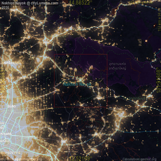
Analysis of Nakhon Nayok night lights 2016
Square area 10x10 km:
 0.22%
0.22%90-99
0.87%80-89
9.96%70-79
8.23%60-69
13.64%50-59
5.63%40-49
2.38%30-39
9.52%20-29
11.04%10-19
36.58%0-9
1.95%Square area 50x50 km:
0.08%90-99
0.23%80-89
1.89%70-79
1.73%60-69
2.24%50-59
2.33%40-49
2.41%30-39
2.89%20-29
3.62%10-19
14.95%0-9
67.62%Clear (daylight) street map image can be seen on geolist.org.
Map coordinates:
14° 53' 6.8" North, 100° 30' 35.4" East
14° 12' 16.7" North, 101° 12' 46.6" East
13° 31' 19.2" North, 101° 54' 57.9" East
Some cities around Nakhon Nayok sort by population:
• Saraburi
48.5 km =30.1 mi,  318°
318°
• Ban Lam Luk Ka
53.3 km =33.1 mi,  241°
241°
• Nong Khae
40.2 km =25 mi,  292°
292°
• Prachin Buri
24 km =14.9 mi,  135°
135°
• Kaeng Khoi
48.4 km =30.1 mi,  331°
331°
• Phanom Sarakham
52.8 km =32.8 mi,  163°
163°
• Bang Khla
53.7 km =33.4 mi,  180°
180°
• Bang Nam Priao
43.3 km =26.9 mi,  203°
203°
1608539 (p: 21,309)
Sources (retrieved 2019-11-25):
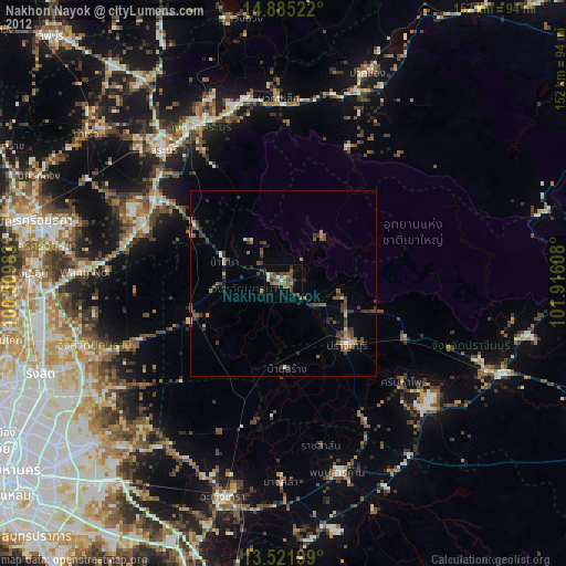
» Earth at Night: Flat Maps 2012, 2016