Chachoengsao night lights from space
Night Light of Chachoengsao from space (Thailand) Src. Average luminocity for 10x10km area is 59.4855% and for 50x50km: 32.3407%.
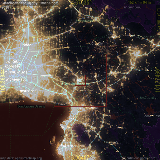
Analysis of Chachoengsao night lights 2016
Square area 10x10 km:
 5.37%
5.37%90-99
9.5%80-89
9.5%70-79
9.5%60-69
8.68%50-59
16.94%40-49
18.6%30-39
14.05%20-29
6.4%10-19
1.45%0-9
0%Square area 50x50 km:
1.69%90-99
2.2%80-89
4.74%70-79
4.32%60-69
7.18%50-59
7.64%40-49
8.93%30-39
8.61%20-29
10.46%10-19
14%0-9
30.23%Clear (daylight) street map image can be seen on geolist.org.
Map coordinates:
14° 22' 13.3" North, 100° 22' 6.4" East
13° 41' 17.5" North, 101° 4' 17.6" East
13° 0' 14.7" North, 101° 46' 28.9" East
Some cities around Chachoengsao sort by population:
• Ban Khlong Bang Sao Thong
26.3 km =16.3 mi,  258°
258°
• Bang Bo District
29.9 km =18.6 mi,  247°
247°
• Bang Pakong
18.2 km =11.3 mi,  207°
207°
• Phanat Nikhom
29.6 km =18.4 mi,  155°
155°
• Phan Thong
24.6 km =15.3 mi,  174°
174°
• Phanom Sarakham
30.7 km =19.1 mi,  77°
77°
• Bang Khla
15.2 km =9.4 mi, 75°
• Bang Nam Priao
17.8 km =11.1 mi,  353°
353°
1611439 (p: 49,741)
Sources (retrieved 2019-11-25):
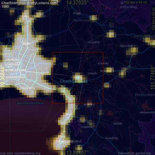
» NASA, Earths city lights 1995
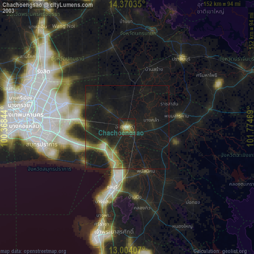
» NASA city lights 2003
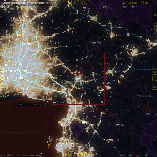
» Earth at Night: Flat Maps 2012, 2016