Chai Badan night lights from space
Night Light of Chai Badan (Lopburi) from space (Thailand) Src. Average luminocity for 10x10km area is 20.1157% and for 50x50km: 2.4802%.
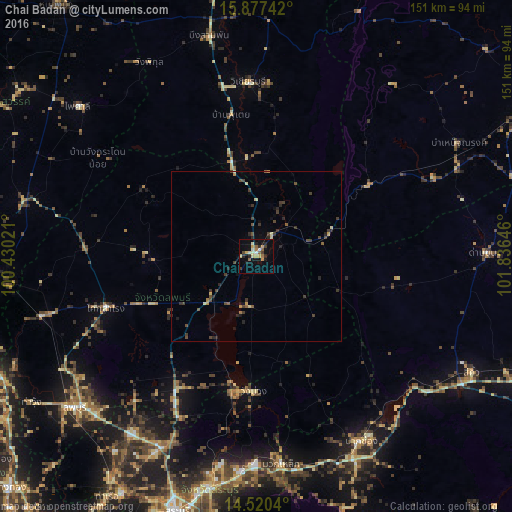
Analysis of Chai Badan night lights 2016
Square area 10x10 km:
 0.21%
0.21%90-99
3.1%80-89
4.34%70-79
3.93%60-69
2.07%50-59
2.89%40-49
1.45%30-39
2.07%20-29
4.55%10-19
12.4%0-9
63.02%Square area 50x50 km:
0.01%90-99
0.18%80-89
0.4%70-79
0.32%60-69
0.17%50-59
0.36%40-49
0.69%30-39
0.84%20-29
0.79%10-19
0.83%0-9
95.41%Clear (daylight) street map image can be seen on geolist.org.
Map coordinates:
15° 52' 38.7" North, 100° 25' 48.8" East
15° 12' 0" North, 101° 7' 60" East
14° 31' 13.4" North, 101° 50' 11.3" East
Some cities around Chai Badan sort by population:
• Lop Buri
68.2 km =42.4 mi,  229°
229°
• Phra Phutthabat
64.1 km =39.8 mi,  214°
214°
• Pak Chong
62.6 km =38.9 mi,  150°
150°
• Wichian Buri
51 km =31.7 mi,  356°
356°
• Kaeng Khoi
69.8 km =43.4 mi,  192°
192°
• Dan Khun Thot
68.5 km =42.6 mi,  89°
89°
• Bamnet Narong
68.5 km =42.6 mi,  60°
60°
• Phai Sali
68.3 km =42.4 mi,  310°
310°
1611424 (p: 25,196)
Sources (retrieved 2019-11-25):
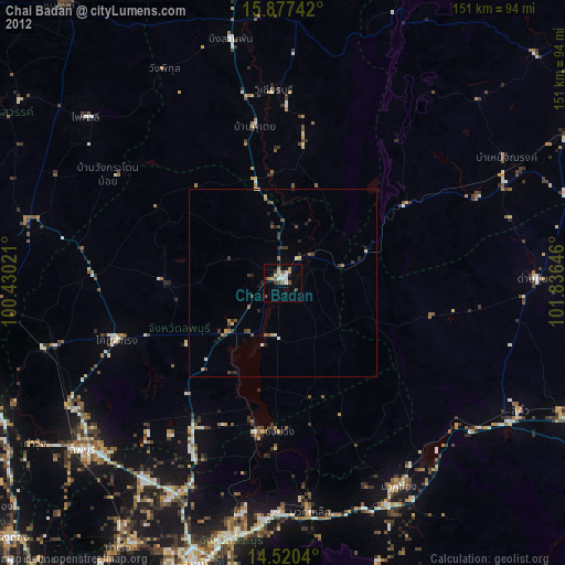
» Earth at Night: Flat Maps 2012, 2016