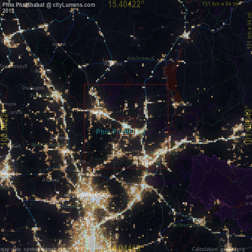
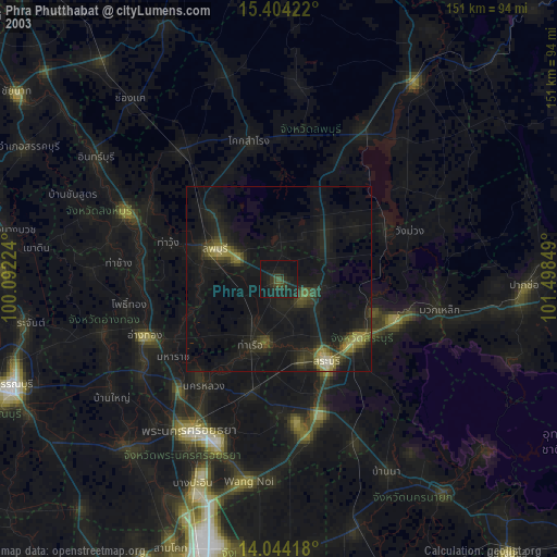
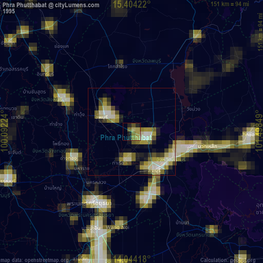
Phra Phutthabat night lights from space
Night Light of Phra Phutthabat (Saraburi) from space (Thailand) Src. Average luminocity for 10x10km area is 41.345% and for 50x50km: 23.7636%.

Analysis of Phra Phutthabat night lights 2016
Square area 10x10 km:
 1.86%
1.86%90-99
2.89%80-89
6.4%70-79
2.89%60-69
5.37%50-59
4.55%40-49
19.63%30-39
20.66%20-29
21.49%10-19
14.26%0-9
0%Square area 50x50 km:
1.15%90-99
1.65%80-89
3.44%70-79
2.69%60-69
4.9%50-59
4.52%40-49
5.45%30-39
5.84%20-29
8.42%10-19
20.13%0-9
41.81%Clear (daylight) street map image can be seen on geolist.org.
Map coordinates:
15° 24' 15.2" North, 100° 5' 32.1" East
14° 43' 30.9" North, 100° 47' 43.3" East
14° 2' 39" North, 101° 29' 54.6" East
Some cities around Phra Phutthabat sort by population:
• Saraburi
25 km =15.5 mi,  148°
148°
• Lop Buri
17.2 km =10.7 mi,  298°
298°
• Kaeng Khoi
26.7 km =16.6 mi,  125°
125°
• Tha Ruea
19.1 km =11.9 mi,  203°
203°
• Ban Mo
14.2 km =8.8 mi,  210°
210°
• Nakhon Luang
35.4 km =22 mi, 214°
• Ban Thai Tan
35.1 km =21.8 mi,  250°
250°
• Chaiyo
35.6 km =22.1 mi,  261°
261°
1607512 (p: 57,008)
Sources (retrieved 2019-11-25):
» NASA, Earths city lights 1995
» NASA city lights 2003
» Earth at Night: Flat Maps 2012, 2016