Pak Chong night lights from space
Night Light of Pak Chong (Nakhon Ratchasima) from space (Thailand) Src. Average luminocity for 10x10km area is 39.4669% and for 50x50km: 9.5541%.

Analysis of Pak Chong night lights 2016
Square area 10x10 km:
 1.45%
1.45%90-99
2.27%80-89
10.74%70-79
6.61%60-69
8.68%50-59
4.13%40-49
5.58%30-39
9.92%20-29
16.32%10-19
27.48%0-9
6.82%Square area 50x50 km:
0.13%90-99
0.31%80-89
1.6%70-79
1.17%60-69
1.41%50-59
1.5%40-49
1.95%30-39
3.12%20-29
3.47%10-19
8.44%0-9
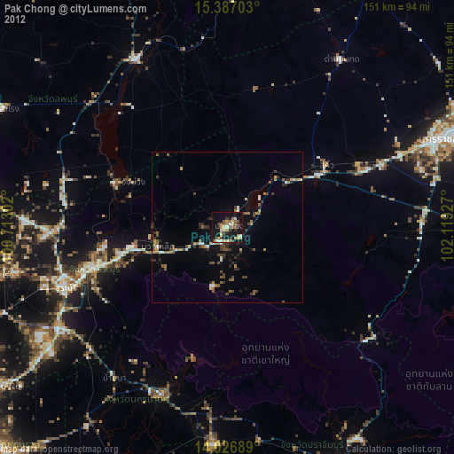
76.89%Clear (daylight) street map image can be seen on geolist.org.
Map coordinates:
15° 23' 13.3" North, 100° 42' 46.9" East
14° 42' 28.9" North, 101° 24' 58.1" East
14° 1' 36.8" North, 102° 7' 9.4" East
Some cities around Pak Chong sort by population:
• Saraburi
57.1 km =35.5 mi,  250°
250°
• Phra Phutthabat
66.8 km =41.5 mi,  271°
271°
• Kaeng Khoi
47 km =29.2 mi, 253°
• Amphoe Sikhiu
37.9 km =23.5 mi,  55°
55°
• Chai Badan
62.6 km =38.9 mi,  330°
330°
• Nakhon Nayok
60.1 km =37.3 mi,  201°
201°
• Dan Khun Thot
67.5 km =41.9 mi,  34°
34°
• Sung Noen
48.4 km =30.1 mi, 63°
1608057 (p: 48,999)
Sources (retrieved 2019-11-25):
» Earth at Night: Flat Maps 2012, 2016