Lop Buri night lights from space
Night Light of Lop Buri (Lopburi) from space (Thailand) Src. Average luminocity for 10x10km area is 53.4959% and for 50x50km: 19.4532%.
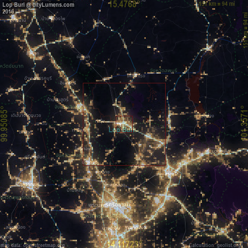

Analysis of Lop Buri night lights 2016
Square area 10x10 km:
 4.34%
4.34%90-99
5.79%80-89
7.85%70-79
9.5%60-69
17.15%50-59
10.74%40-49
8.47%30-39
12.6%20-29
15.7%10-19
7.85%0-9
0%Square area 50x50 km:
0.64%90-99
0.9%80-89
2.96%70-79
2.26%60-69
4.04%50-59
3.34%40-49
4.14%30-39
5.27%20-29
7.95%10-19
17.68%0-9
50.82%Clear (daylight) street map image can be seen on geolist.org.
Map coordinates:
15° 28' 36.5" North, 99° 57' 3.1" East
14° 47' 53.1" North, 100° 39' 14.3" East
14° 7' 2" North, 101° 21' 25.6" East
Some cities around Lop Buri sort by population:
• Phra Phutthabat
17.2 km =10.7 mi,  118°
118°
• Sing Buri
28.6 km =17.8 mi,  290°
290°
• Tha Ruea
26.8 km =16.7 mi,  163°
163°
• Ban Mo
21.8 km =13.5 mi, 158°
• Ban Thai Tan
26.6 km =16.5 mi,  222°
222°
• Ang Thong
31.8 km =19.8 mi, 222°
• Chaiyo
24.1 km =15 mi,  235°
235°
• Pho Thong
30.1 km =18.7 mi, 241°
1609032 (p: 57,761)
Sources (retrieved 2019-11-25):
» NASA, Earths city lights 1995
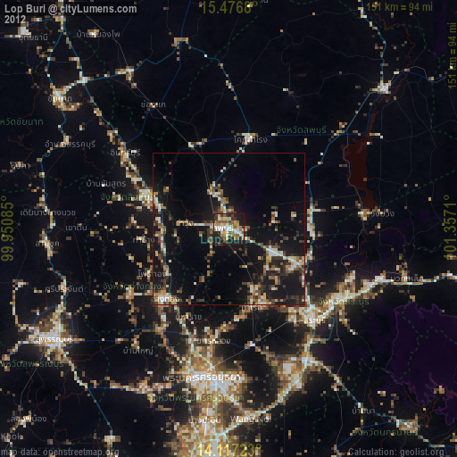
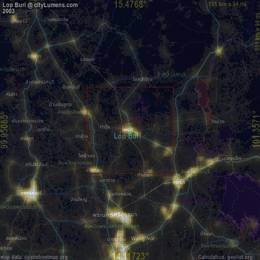
» NASA city lights 2003
» Earth at Night: Flat Maps 2012, 2016