Bongor night lights from space
Night Light of Bongor (Mayo-Kebbi Est) from space (Chad) Src. Average luminocity for 10x10km area is 1.2541% and for 50x50km: 0.0841%.
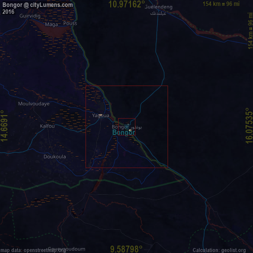
Analysis of Bongor night lights 2016
Square area 10x10 km:
 0%
0%90-99
0%80-89
0.83%70-79
0%60-69
0%50-59
0%40-49
0%30-39
0.83%20-29
0.83%10-19
0%0-9
97.52%Square area 50x50 km:
0%90-99
0%80-89
0.03%70-79
0%60-69
0%50-59
0.03%40-49
0%30-39
0.07%20-29
0.03%10-19
0%0-9
99.83%Clear (daylight) street map image can be seen on geolist.org.
Map coordinates:
10° 58' 17.8" North, 14° 40' 8.8" East
10° 16' 50" North, 15° 22' 20" East
9° 35' 16.7" North, 16° 4' 31.3" East
Some cities around Bongor sort by population:
• Yagoua, CM
16.7 km =10.4 mi,  293°
293°
• Kelo
118.1 km =73.4 mi,  156°
156°
• Pala
114 km =70.8 mi,  206°
206°
• Kaélé, CM
102.6 km =63.8 mi,  259°
259°
• Bogo, CM
97.4 km =60.5 mi,  301°
301°
• Guelendeng
73.5 km =45.7 mi,  15°
15°
• Mindif, CM
103.2 km =64.1 mi,  277°
277°
• Gounou Gaya
74 km =46 mi,  167°
167°
2434910 (p: 27,770)
Sources (retrieved 2019-11-25):
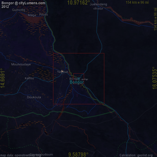
» Earth at Night: Flat Maps 2012, 2016