Gounou Gaya night lights from space
Night Light of Gounou Gaya (Mayo-Kebbi Est) from space (Chad) Src. Average luminocity for 10x10km area is 0% and for 50x50km: 0%.
Analysis of Gounou Gaya night lights 2016
Square area 10x10 km:
100  0%
0%
90-99 0%
80-89 0%
70-79 0%
60-69 0%
50-59 0%
40-49 0%
30-39 0%
20-29 0%
10-19 0%
0-9 100%
0%90-99
0%80-89
0%70-79
0%60-69
0%50-59
0%40-49
0%30-39
0%20-29
0%10-19
0%0-9
100%Square area 50x50 km:
100 0%
90-99 0%
80-89 0%
70-79 0%
60-69 0%
50-59 0%
40-49 0%
30-39 0%
20-29 0%
10-19 0%
0-9 100%
0%90-99
0%80-89
0%70-79
0%60-69
0%50-59
0%40-49
0%30-39
0%20-29
0%10-19
0%0-9
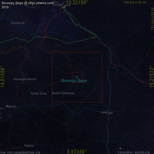
100%Clear (daylight) street map image can be seen on geolist.org.
Map coordinates:
10° 19' 18.8" North, 14° 48' 36.3" East
9° 37' 45.8" North, 15° 30' 47.5" East
8° 56' 7.8" North, 16° 12' 58.8" East
Some cities around Gounou Gaya sort by population:
• Yagoua, CM
84.9 km =52.8 mi,  338°
338°
• Kelo
48 km =29.8 mi,  137°
137°
• Pala
73 km =45.4 mi,  246°
246°
• Bongor
74 km =46 mi,  347°
347°
• Laï
90.1 km =56 mi,  106°
106°
• Benoy
114 km =70.8 mi,  129°
129°
• Béré
78.4 km =48.7 mi,  116°
116°
• Beïnamar
107.7 km =66.9 mi,  187°
187°
2431724 (p: 9,521)
Sources (retrieved 2019-11-25):
» Earth at Night: Flat Maps 2012, 2016