Kelo night lights from space
Night Light of Kelo (Tandjilé) from space (Chad) Src. Average luminocity for 10x10km area is 0% and for 50x50km: 0%.

Analysis of Kelo night lights 2016
Square area 10x10 km:
100  0%
0%
90-99 0%
80-89 0%
70-79 0%
60-69 0%
50-59 0%
40-49 0%
30-39 0%
20-29 0%
10-19 0%
0-9 100%
0%90-99
0%80-89
0%70-79
0%60-69
0%50-59
0%40-49
0%30-39
0%20-29
0%10-19
0%0-9
100%Square area 50x50 km:
100 0%
90-99 0%
80-89 0%
70-79 0%
60-69 0%
50-59 0%
40-49 0%
30-39 0%
20-29 0%
10-19 0%
0-9 100%
0%90-99
0%80-89
0%70-79
0%60-69
0%50-59
0%40-49
0%30-39
0%20-29
0%10-19
0%0-9
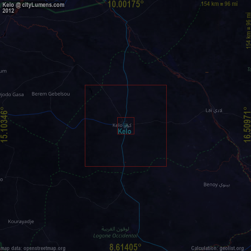
100%Clear (daylight) street map image can be seen on geolist.org.
Map coordinates:
10° 0' 6.3" North, 15° 6' 12.5" East
9° 18' 30.9" North, 15° 48' 23.7" East
8° 36' 50.6" North, 16° 30' 35" East
Some cities around Kelo sort by population:
• Moundou
87.9 km =54.6 mi,  159°
159°
• Pala
99.2 km =61.6 mi,  273°
273°
• Laï
55.1 km =34.2 mi,  79°
79°
• Benoy
67 km =41.6 mi,  122°
122°
• Béré
38.3 km =23.8 mi,  88°
88°
• Bébédja
109.1 km =67.8 mi,  130°
130°
• Gounou Gaya
48 km =29.8 mi,  317°
317°
• Beïnamar
85 km =52.8 mi,  213°
213°
2430506 (p: 42,533)
Sources (retrieved 2019-11-25):
» Earth at Night: Flat Maps 2012, 2016