Al Jadīd night lights from space
Night Light of Al Jadīd (Sabhā) from space (Libya) Src. Average luminocity for 10x10km area is 67.5456% and for 50x50km: 6.2008%.
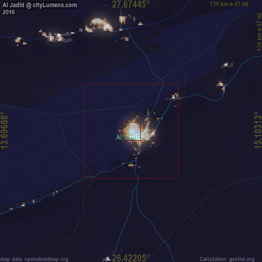
Analysis of Al Jadīd night lights 2016
Square area 10x10 km:
 21.43%
90-99
21.63%80-89
4.96%70-79
4.17%60-69
5.36%50-59
11.51%40-49
5.56%30-39
6.35%20-29
8.33%10-19
10.52%0-9
0.2%Square area 50x50 km:
1.17%90-99
1.18%80-89
0.44%70-79
0.43%60-69
0.54%50-59
1.31%40-49
0.83%30-39
1.24%20-29
1.94%10-19
3.68%0-9
87.24%Clear (daylight) street map image can be seen on geolist.org.
Map coordinates:
27° 40' 28" North, 13° 41' 48.8" East
27° 3' 0" North, 14° 24' 0" East
26° 25' 19.4" North, 15° 6' 11.3" East
Some cities around Al Jadīd sort by population:
• Sabhā
3.1 km =1.9 mi,  116°
116°
• Murzuq
134.9 km =83.8 mi,  200°
200°
• Ubari
169.1 km =105.1 mi,  252°
252°
• Brak
57 km =35.4 mi,  347°
347°
• Waddān
290.2 km =180.3 mi,  35°
35°
• Ghat
481.3 km =299.1 mi,  241°
241°
• Hūn
276.4 km =171.7 mi,  33°
33°
• Idrī
140.4 km =87.2 mi,  288°
288°
2219960 (p: 126,386)
Sources (retrieved 2019-11-25):
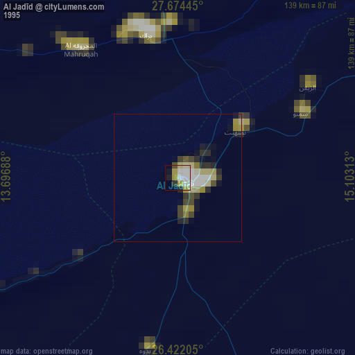
» NASA, Earths city lights 1995
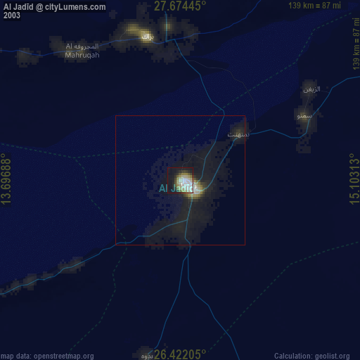
» NASA city lights 2003
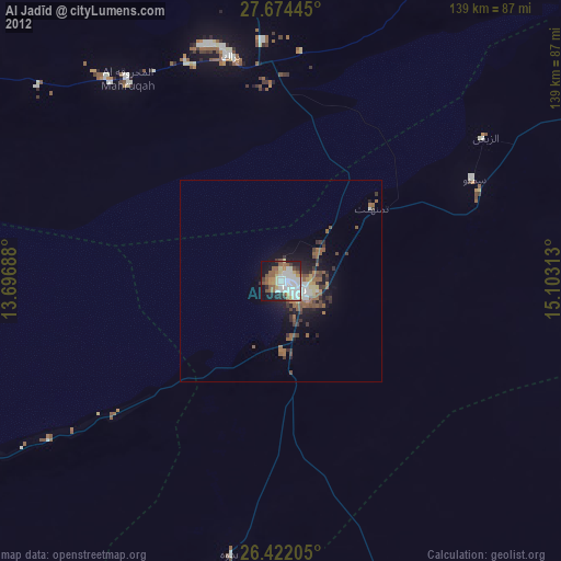
» Earth at Night: Flat Maps 2012, 2016