Tartouss night lights from space
Night Light of Tartouss (Tartus) from space (Syria) Src. Average luminocity for 10x10km area is 41.9927% and for 50x50km: 4.839%.
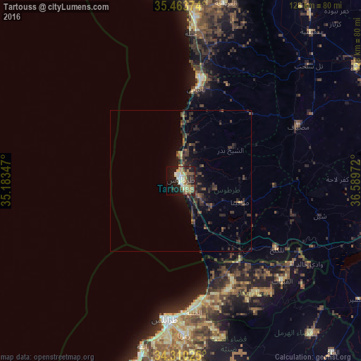
Analysis of Tartouss night lights 2016
Square area 10x10 km:
 4.03%
4.03%90-99
6.04%80-89
9.52%70-79
6.23%60-69
6.78%50-59
5.68%40-49
6.04%30-39
6.59%20-29
10.62%10-19
24.91%0-9
13.55%Square area 50x50 km:
0.16%90-99
0.23%80-89
0.42%70-79
0.33%60-69
0.68%50-59
0.74%40-49
1.54%30-39
1.81%20-29
2.12%10-19
4.18%0-9
87.8%Clear (daylight) street map image can be seen on geolist.org.
Map coordinates:
35° 27' 49.5" North, 35° 11' 0.5" East
34° 53' 20.5" North, 35° 53' 11.7" East
34° 18' 36.9" North, 36° 35' 23" East
Some cities around Tartouss sort by population:
• Tripoli, LB
50.8 km =31.6 mi,  184°
184°
• Jablah
52.7 km =32.7 mi,  4°
4°
• Bāniyās
33.1 km =20.6 mi,  9°
9°
• Maşyāf
45.8 km =28.5 mi,  64°
64°
• Tallkalakh
42 km =26.1 mi,  125°
125°
• Satita
22.4 km =13.9 mi,  109°
109°
• Ad Duraykīsh
23.4 km =14.5 mi,  88°
88°
• Halba, LB
42.4 km =26.3 mi,  155°
155°
163345 (p: 89,457)
Sources (retrieved 2019-11-25):
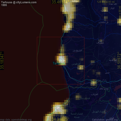
» NASA, Earths city lights 1995
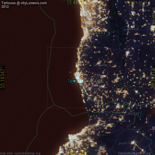
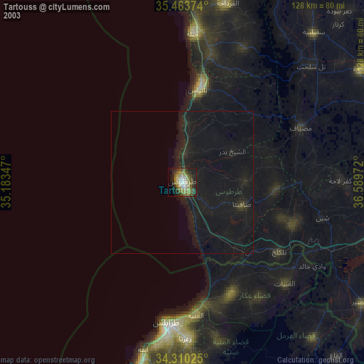
» NASA city lights 2003
» Earth at Night: Flat Maps 2012, 2016