Maşyāf night lights from space
Night Light of Maşyāf (Hama) from space (Syria) Src. Average luminocity for 10x10km area is 5.6014% and for 50x50km: 1.5175%.
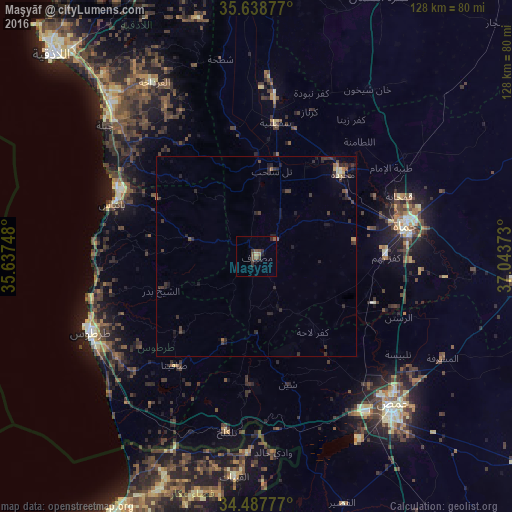
Analysis of Maşyāf night lights 2016
Square area 10x10 km:
 0%
0%90-99
0%80-89
0%70-79
0.7%60-69
0.7%50-59
1.92%40-49
3.32%30-39
1.57%20-29
2.97%10-19
0.7%0-9
88.11%Square area 50x50 km:
0%90-99
0.05%80-89
0.13%70-79
0.13%60-69
0.15%50-59
0.22%40-49
0.53%30-39
0.68%20-29
1%10-19
0.66%0-9
96.46%Clear (daylight) street map image can be seen on geolist.org.
Map coordinates:
35° 38' 19.6" North, 35° 38' 14.9" East
35° 3' 55.1" North, 36° 20' 26.2" East
34° 29' 16" North, 37° 2' 37.4" East
Some cities around Maşyāf sort by population:
• Ḩamāh
38.7 km =24 mi,  78°
78°
• Ar Rastan
38.9 km =24.2 mi,  113°
113°
• Bāniyās
37.9 km =23.5 mi,  289°
289°
• Satita
33.9 km =21.1 mi,  216°
216°
• Ḩalfāyā
32.4 km =20.1 mi,  48°
48°
• Kafr Lāhā
23.7 km =14.7 mi,  143°
143°
• Ad Duraykīsh
26.1 km =16.2 mi, 223°
• Tremseh
27.3 km =17 mi,  32°
32°
167046 (p: 32,262)
Sources (retrieved 2019-11-25):
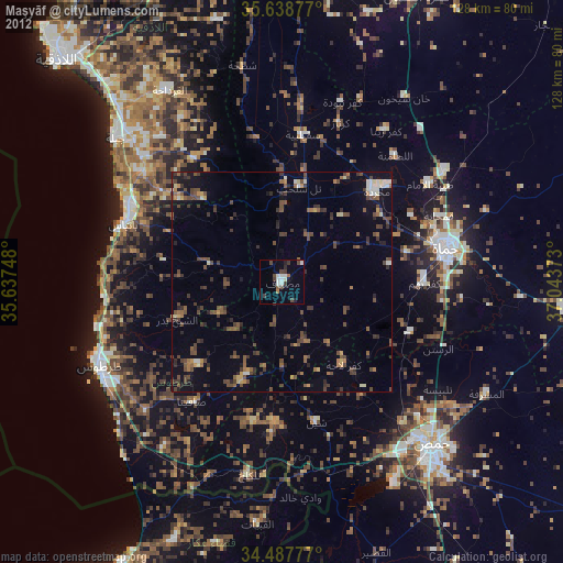
» Earth at Night: Flat Maps 2012, 2016