Tallkalakh night lights from space
Night Light of Tallkalakh (Homs) from space (Syria) Src. Average luminocity for 10x10km area is 9.9948% and for 50x50km: 10.0651%.
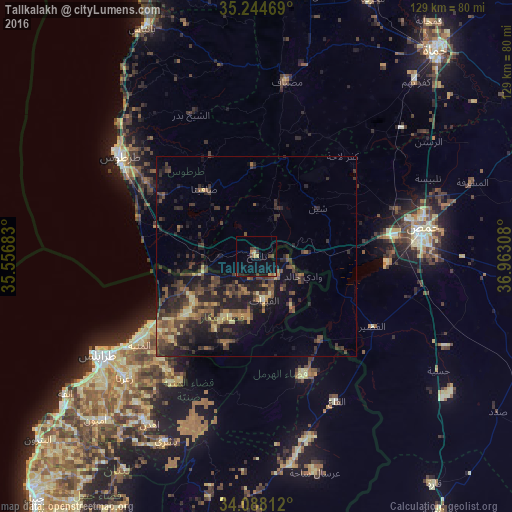
Analysis of Tallkalakh night lights 2016
Square area 10x10 km:
 0%
0%90-99
0%80-89
1.22%70-79
2.27%60-69
0.87%50-59
0.52%40-49
3.67%30-39
1.22%20-29
1.57%10-19
11.01%0-9
77.62%Square area 50x50 km:
0%90-99
0.36%80-89
1.28%70-79
1.15%60-69
1.35%50-59
1.87%40-49
3.87%30-39
3.28%20-29
4.85%10-19
7.53%0-9
74.47%Clear (daylight) street map image can be seen on geolist.org.
Map coordinates:
35° 14' 40.9" North, 35° 33' 24.6" East
34° 40' 6.3" North, 36° 15' 35.8" East
34° 5' 17.2" North, 36° 57' 47.1" East
Some cities around Tallkalakh sort by population:
• Homs
42.9 km =26.7 mi,  81°
81°
• Tartouss
42 km =26.1 mi,  305°
305°
• Al Quşayr
34.3 km =21.3 mi,  121°
121°
• Satita
21.4 km =13.3 mi,  322°
322°
• Kafr Lāhā
33.1 km =20.6 mi,  40°
40°
• Ad Duraykīsh
27.4 km =17 mi,  337°
337°
• Al Ghanţū
43.4 km =27 mi,  66°
66°
• Halba, LB
21.6 km =13.4 mi,  229°
229°
163533 (p: 29,754)
Sources (retrieved 2019-11-25):
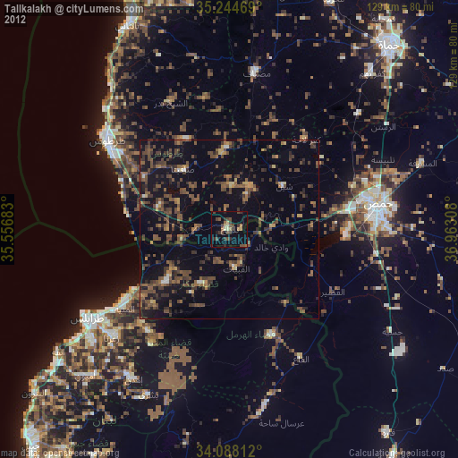
» Earth at Night: Flat Maps 2012, 2016