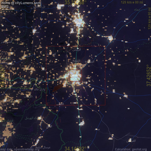
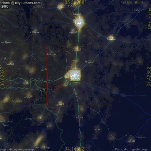
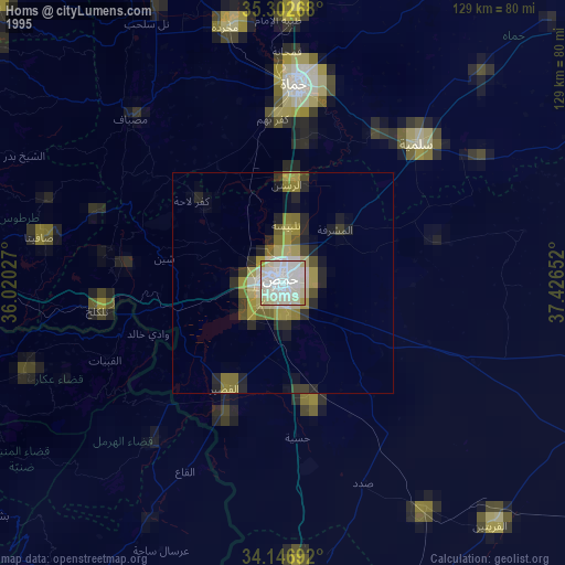
Homs night lights from space
Night Light of Homs from space (Syria) Src. Average luminocity for 10x10km area is 64.3535% and for 50x50km: 6.1783%.
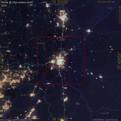
Analysis of Homs night lights 2016
Square area 10x10 km:
 5.49%
5.49%90-99
15.75%80-89
22.53%70-79
5.49%60-69
7.14%50-59
7.88%40-49
12.45%30-39
10.99%20-29
7.88%10-19
4.4%0-9
0%Square area 50x50 km:
0.27%90-99
0.74%80-89
1.32%70-79
0.41%60-69
0.69%50-59
0.93%40-49
1.57%30-39
1.69%20-29
2.14%10-19
3.97%0-9
86.26%Clear (daylight) street map image can be seen on geolist.org.
Map coordinates:
35° 18' 9.6" North, 36° 1' 13" East
34° 43' 36.6" North, 36° 43' 24.2" East
34° 8' 48.9" North, 37° 25' 35.5" East
Some cities around Homs sort by population:
• As Salamīyah
43.7 km =27.2 mi,  43°
43°
• Ar Rastan
22.2 km =13.8 mi,  2°
2°
• Al Quşayr
27.6 km =17.1 mi,  208°
208°
• Tallbīsah
12.7 km =7.9 mi, 3°
• Tallkalakh
42.9 km =26.7 mi,  261°
261°
• Kafr Lāhā
27.9 km =17.3 mi,  311°
311°
• Al Ghanţū
10.9 km =6.8 mi,  346°
346°
• Mukharram al Fawqānī
34.6 km =21.5 mi,  73°
73°
169577 (p: 775,404)
Sources (retrieved 2019-11-25):
» NASA, Earths city lights 1995
» NASA city lights 2003
» Earth at Night: Flat Maps 2012, 2016