Al Quşayr night lights from space
Night Light of Al Quşayr (Homs) from space (Syria) Src. Average luminocity for 10x10km area is 1.507% and for 50x50km: 6.627%.
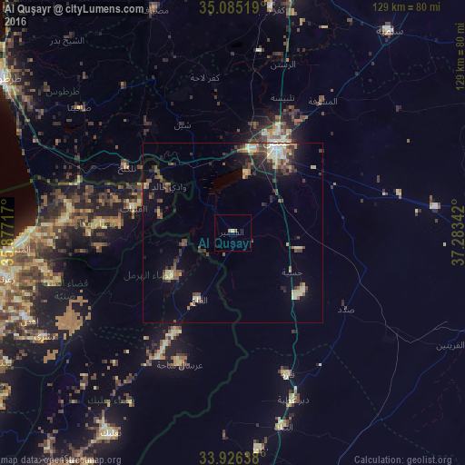
Analysis of Al Quşayr night lights 2016
Square area 10x10 km:
 0%
0%90-99
0.17%80-89
0.52%70-79
0%60-69
0.7%50-59
0.7%40-49
0%30-39
0%20-29
0%10-19
0%0-9
97.9%Square area 50x50 km:
0.28%90-99
0.67%80-89
1.47%70-79
0.48%60-69
0.64%50-59
1.16%40-49
1.61%30-39
1.54%20-29
1.61%10-19
3.35%0-9
87.21%Clear (daylight) street map image can be seen on geolist.org.
Map coordinates:
35° 5' 6.7" North, 35° 52' 37.8" East
34° 30' 28.1" North, 36° 34' 49" East
33° 55' 35" North, 37° 17' 0.3" East
Some cities around Al Quşayr sort by population:
• Homs
27.6 km =17.1 mi,  28°
28°
• Ar Rastan
48.6 km =30.2 mi,  16°
16°
• Tallbīsah
39.5 km =24.5 mi, 20°
• Tallkalakh
34.3 km =21.3 mi,  301°
301°
• Kafr Lāhā
43.7 km =27.2 mi,  349°
349°
• Qārah
41.9 km =26 mi,  159°
159°
• Al Ghanţū
36.5 km =22.7 mi, 16°
• Halba, LB
46 km =28.6 mi,  274°
274°
173322 (p: 41,062)
Sources (retrieved 2019-11-25):
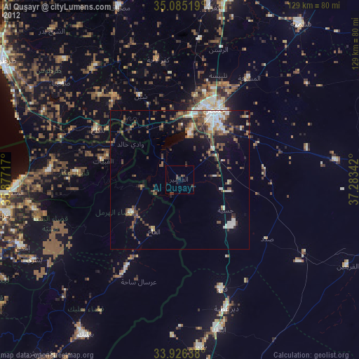
» Earth at Night: Flat Maps 2012, 2016