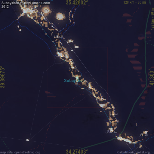
Subaykhān night lights from space
Night Light of Subaykhān (Deir ez-Zor) from space (Syria) Src. Average luminocity for 10x10km area is 0.4982% and for 50x50km: 0.1309%.
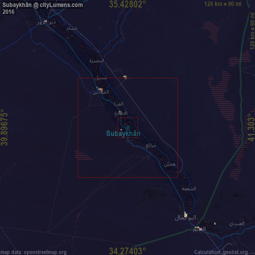
Analysis of Subaykhān night lights 2016
Square area 10x10 km:
 0%
0%90-99
0%80-89
0%70-79
0%60-69
0.73%50-59
0%40-49
0%30-39
0%20-29
0%10-19
0%0-9
99.27%Square area 50x50 km:
0%90-99
0%80-89
0%70-79
0%60-69
0.06%50-59
0%40-49
0.11%30-39
0.05%20-29
0.04%10-19
0.08%0-9
99.67%Clear (daylight) street map image can be seen on geolist.org.
Map coordinates:
35° 25' 40.9" North, 39° 53' 48.3" East
34° 51' 11" North, 40° 35' 59.5" East
34° 16' 26.5" North, 41° 18' 10.8" East
Some cities around Subaykhān sort by population:
• Deir ez-Zor
68 km =42.3 mi,  322°
322°
• Ālbū Kamāl
53.2 km =33.1 mi,  146°
146°
• Al Mayādīn
22.9 km =14.2 mi, 323°
• Ḩadīthah, IQ
181.3 km =112.7 mi,  116°
116°
• Hajīn
27.5 km =17.1 mi,  129°
129°
• ‘Anah, IQ
137.5 km =85.4 mi,  113°
113°
• ‘Anat al Qadīmah, IQ
130 km =80.8 mi, 109°
• Rāwah, IQ
127.5 km =79.2 mi, 108°
164025 (p: 25,514)
Sources (retrieved 2019-11-25):
» Earth at Night: Flat Maps 2012, 2016