Ḩadīthah night lights from space
Night Light of Ḩadīthah (Al Anbar) from space (Iraq) Src. Average luminocity for 10x10km area is 42.3956% and for 50x50km: 3.6913%.
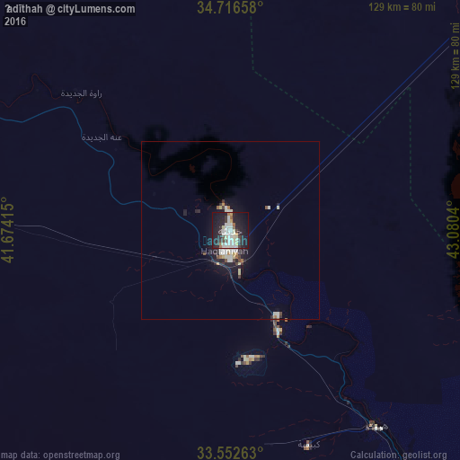
Analysis of Ḩadīthah night lights 2016
Square area 10x10 km:
 4.4%
4.4%90-99
17.77%80-89
4.4%70-79
2.56%60-69
2.2%50-59
2.01%40-49
3.85%30-39
4.76%20-29
17.77%10-19
34.25%0-9
6.04%Square area 50x50 km:
0.24%90-99
1.36%80-89
0.42%70-79
0.21%60-69
0.26%50-59
0.17%40-49
0.37%30-39
0.42%20-29
1.37%10-19
3.09%0-9
92.09%Clear (daylight) street map image can be seen on geolist.org.
Map coordinates:
34° 42' 59.7" North, 41° 40' 26.9" East
34° 8' 11.8" North, 42° 22' 38.2" East
33° 33' 9.5" North, 43° 4' 49.4" East
Some cities around Ḩadīthah sort by population:
• Ramadi
117.2 km =72.8 mi,  132°
132°
• Ālbū Kamāl, SY
138.5 km =86.1 mi,  284°
284°
• Tikrīt
130.8 km =81.3 mi,  65°
65°
• Bayjī
134.7 km =83.7 mi,  49°
49°
• Hīt
69.4 km =43.1 mi,  143°
143°
• ‘Anah
44.6 km =27.7 mi,  305°
305°
• ‘Anat al Qadīmah
54.5 km =33.9 mi, 312°
• Rāwah
57 km =35.4 mi, 312°
96309 (p: 30,925)
Sources (retrieved 2019-11-25):
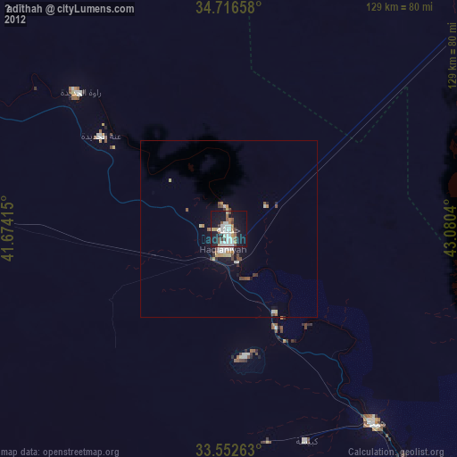
» Earth at Night: Flat Maps 2012, 2016