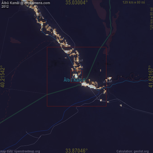
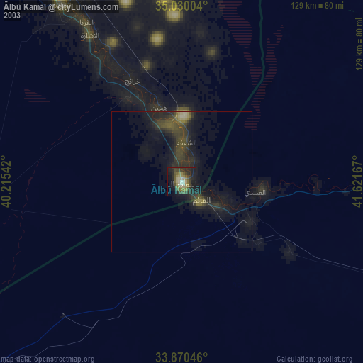
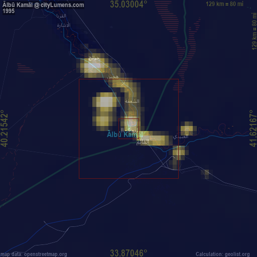
Ālbū Kamāl night lights from space
Night Light of Ālbū Kamāl (Deir ez-Zor) from space (Syria) Src. Average luminocity for 10x10km area is 2.7448% and for 50x50km: 0.2036%.
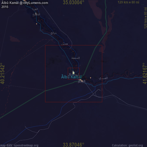
Analysis of Ālbū Kamāl night lights 2016
Square area 10x10 km:
 0%
0%90-99
0%80-89
1.22%70-79
0.17%60-69
1.4%50-59
0.7%40-49
0%30-39
0%20-29
0%10-19
0%0-9
96.5%Square area 50x50 km:
0%90-99
0%80-89
0.05%70-79
0.01%60-69
0.14%50-59
0.04%40-49
0.01%30-39
0.06%20-29
0%10-19
0%0-9
99.69%Clear (daylight) street map image can be seen on geolist.org.
Map coordinates:
35° 1' 48.1" North, 40° 12' 55.5" East
34° 27' 8.1" North, 40° 55' 6.7" East
33° 52' 13.7" North, 41° 37' 18" East
Some cities around Ālbū Kamāl sort by population:
• Deir ez-Zor
121.2 km =75.3 mi,  324°
324°
• Al Mayādīn
76.2 km =47.3 mi,  325°
325°
• Ḩadīthah, IQ
138.5 km =86.1 mi,  104°
104°
• Hajīn
28.2 km =17.5 mi,  343°
343°
• ‘Anah, IQ
98 km =60.9 mi, 95°
• Subaykhān
53.2 km =33.1 mi, 326°
• ‘Anat al Qadīmah, IQ
93.9 km =58.3 mi,  88°
88°
• Rāwah, IQ
91.8 km =57 mi, 87°
174448 (p: 57,572)
Sources (retrieved 2019-11-25):
» NASA, Earths city lights 1995
» NASA city lights 2003
» Earth at Night: Flat Maps 2012, 2016