‘Anah night lights from space
Night Light of ‘Anah (Al Anbar) from space (Iraq) Src. Average luminocity for 10x10km area is 0% and for 50x50km: 0.0106%.
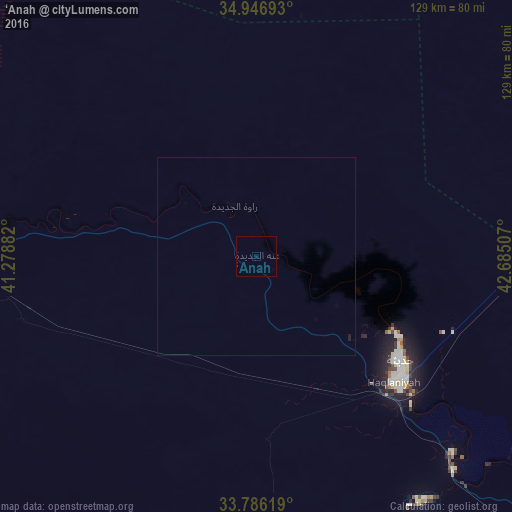
Analysis of ‘Anah night lights 2016
Square area 10x10 km:
 0%
0%90-99
0%80-89
0%70-79
0%60-69
0%50-59
0%40-49
0%30-39
0%20-29
0%10-19
0%0-9
100%Square area 50x50 km:
0%90-99
0%80-89
0%70-79
0%60-69
0%50-59
0%40-49
0%30-39
0%20-29
0.02%10-19
0.04%0-9
99.94%Clear (daylight) street map image can be seen on geolist.org.
Map coordinates:
34° 56' 48.9" North, 41° 16' 43.8" East
34° 22' 6.9" North, 41° 58' 55" East
33° 47' 10.3" North, 42° 41' 6.3" East
Some cities around ‘Anah sort by population:
• Ālbū Kamāl, SY
98 km =60.9 mi,  275°
275°
• Bayjī
151.3 km =94 mi,  65°
65°
• Hīt
112.7 km =70 mi,  136°
136°
• Ḩadīthah
44.6 km =27.7 mi,  125°
125°
• Hajīn, SY
111.5 km =69.3 mi,  289°
289°
• Subaykhān, SY
137.5 km =85.4 mi, 293°
• ‘Anat al Qadīmah
11.8 km =7.3 mi,  341°
341°
• Rāwah
13.9 km =8.6 mi, 335°
6765385 (p: 27,000)
Sources (retrieved 2019-11-25):
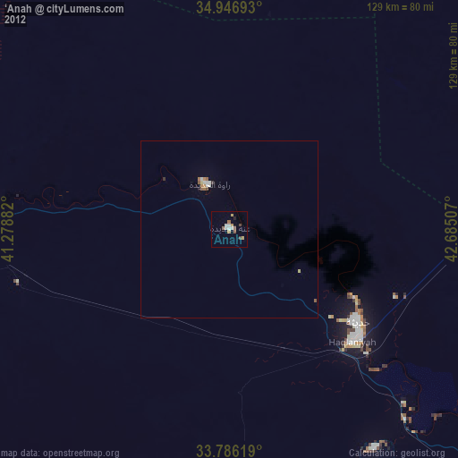
» Earth at Night: Flat Maps 2012, 2016