Al Mayādīn night lights from space
Night Light of Al Mayādīn (Deir ez-Zor) from space (Syria) Src. Average luminocity for 10x10km area is 1.771% and for 50x50km: 0.169%.
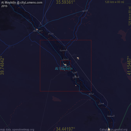
Analysis of Al Mayādīn night lights 2016
Square area 10x10 km:
 0%
0%90-99
0%80-89
0%70-79
0%60-69
0.7%50-59
0%40-49
2.1%30-39
0.7%20-29
0%10-19
0%0-9
96.5%Square area 50x50 km:
0%90-99
0%80-89
0.03%70-79
0%60-69
0.06%50-59
0%40-49
0.15%30-39
0.05%20-29
0.04%10-19
0.05%0-9
99.64%Clear (daylight) street map image can be seen on geolist.org.
Map coordinates:
35° 35' 37" North, 39° 44' 54.3" East
35° 1' 11.4" North, 40° 27' 5.5" East
34° 26' 31.1" North, 41° 9' 16.8" East
Some cities around Al Mayādīn sort by population:
• Deir ez-Zor
45.1 km =28 mi,  321°
321°
• Ar Raqqah
166.9 km =103.7 mi,  308°
308°
• Ālbū Kamāl
76.2 km =47.3 mi,  145°
145°
• Hajīn
50 km =31.1 mi,  136°
136°
• ‘Anah, IQ
157.5 km =97.9 mi,  117°
117°
• Subaykhān
22.9 km =14.2 mi, 143°
• ‘Anat al Qadīmah, IQ
149.3 km =92.8 mi,  114°
114°
• Rāwah, IQ
146.8 km =91.2 mi, 114°
173480 (p: 54,534)
Sources (retrieved 2019-11-25):
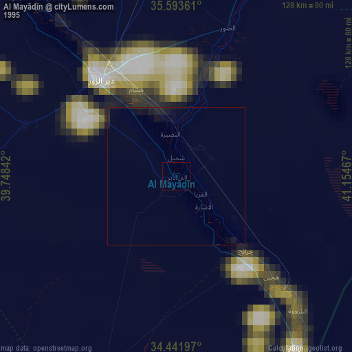
» NASA, Earths city lights 1995
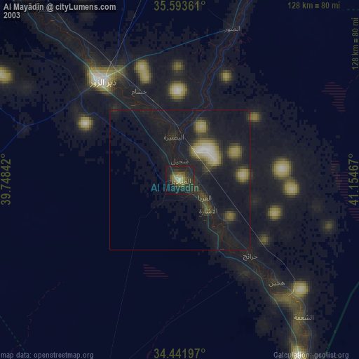
» NASA city lights 2003
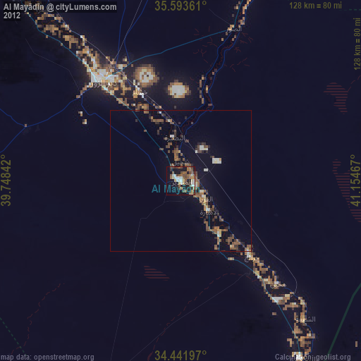
» Earth at Night: Flat Maps 2012, 2016