As-Suwayda night lights from space
Night Light of As-Suwayda from space (Syria) Src. Average luminocity for 10x10km area is 35.4878% and for 50x50km: 3.1053%.
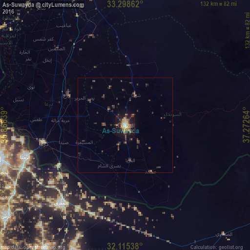
Analysis of As-Suwayda night lights 2016
Square area 10x10 km:
 0.17%
0.17%90-99
2.27%80-89
11.36%70-79
5.77%60-69
4.9%50-59
5.77%40-49
10.49%30-39
2.45%20-29
6.82%10-19
38.81%0-9
11.19%Square area 50x50 km:
0.01%90-99
0.09%80-89
0.47%70-79
0.34%60-69
0.35%50-59
0.51%40-49
1.06%30-39
1.11%20-29
1.04%10-19
2.5%0-9
92.52%Clear (daylight) street map image can be seen on geolist.org.
Map coordinates:
33° 17' 55" North, 35° 51' 59" East
32° 42' 32.3" North, 36° 34' 10.2" East
32° 6' 55.4" North, 37° 16' 21.5" East
Some cities around As-Suwayda sort by population:
• Dar‘ā
44.9 km =27.9 mi,  257°
257°
• Ţafas
47.2 km =29.3 mi,  273°
273°
• Ash Shaykh Miskīn
40.6 km =25.2 mi,  289°
289°
• Al Ḩarāk
24.7 km =15.3 mi,  280°
280°
• Shahbā
17.2 km =10.7 mi,  18°
18°
• Izra‘
34.5 km =21.4 mi,  301°
301°
• Şalākhid
18.2 km =11.3 mi,  0°
0°
• Şabḩā, JO
42.9 km =26.7 mi,  188°
188°
172408 (p: 59,052)
Sources (retrieved 2019-11-25):
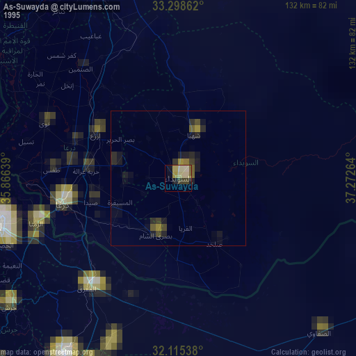
» NASA, Earths city lights 1995
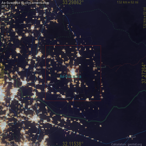
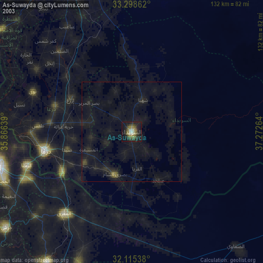
» NASA city lights 2003
» Earth at Night: Flat Maps 2012, 2016