Al Ḩarāk night lights from space
Night Light of Al Ḩarāk (Daraa) from space (Syria) Src. Average luminocity for 10x10km area is 0% and for 50x50km: 2.8526%.
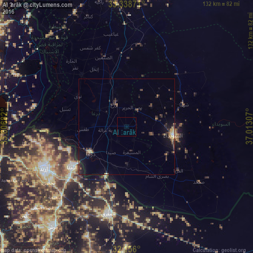
Analysis of Al Ḩarāk night lights 2016
Square area 10x10 km:
 0%
0%90-99
0%80-89
0%70-79
0%60-69
0%50-59
0%40-49
0%30-39
0%20-29
0%10-19
0%0-9
100%Square area 50x50 km:
0.02%90-99
0.11%80-89
0.48%70-79
0.33%60-69
0.25%50-59
0.33%40-49
0.91%30-39
0.88%20-29
1.11%10-19
2.31%0-9
93.28%Clear (daylight) street map image can be seen on geolist.org.
Map coordinates:
33° 20' 19.4" North, 35° 36' 24.6" East
32° 44' 57.6" North, 36° 18' 35.8" East
32° 9' 21.6" North, 37° 0' 47.1" East
Some cities around Al Ḩarāk sort by population:
• Dar‘ā
24.3 km =15.1 mi,  233°
233°
• As-Suwayda
24.7 km =15.3 mi,  100°
100°
• Ţafas
22.8 km =14.2 mi,  266°
266°
• Ash Shaykh Miskīn
16.7 km =10.4 mi,  302°
302°
• Shahbā
32.1 km =19.9 mi,  68°
68°
• Aţ Ţurrah, JO
32.4 km =20.1 mi,  247°
247°
• Izra‘
14.4 km =8.9 mi,  338°
338°
• Şalākhid
28.1 km =17.5 mi,  60°
60°
173819 (p: 23,784)
Sources (retrieved 2019-11-25):
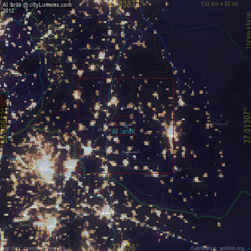
» Earth at Night: Flat Maps 2012, 2016