Nusaybin night lights from space
Night Light of Nusaybin (Mardin) from space (Turkey) Src. Average luminocity for 10x10km area is 47.6139% and for 50x50km: 3.4712%.
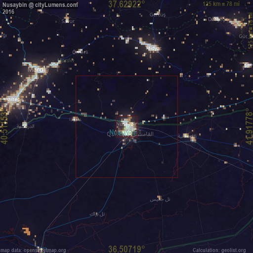

Analysis of Nusaybin night lights 2016
Square area 10x10 km:
 3.57%
3.57%90-99
12.93%80-89
14.29%70-79
3.57%60-69
2.89%50-59
5.27%40-49
5.78%30-39
5.78%20-29
15.14%10-19
26.36%0-9
4.42%Square area 50x50 km:
0.16%90-99
0.7%80-89
0.63%70-79
0.24%60-69
0.28%50-59
0.3%40-49
0.82%30-39
0.76%20-29
0.95%10-19
2.71%0-9
92.45%Clear (daylight) street map image can be seen on geolist.org.
Map coordinates:
37° 37' 45.2" North, 40° 30' 41.5" East
37° 4' 13" North, 41° 12' 52.7" East
36° 30' 25.9" North, 41° 55' 4" East
Some cities around Nusaybin sort by population:
• Midyat
40.3 km =25 mi,  15°
15°
• Kindirip
41.9 km =26 mi,  0°
0°
• Acırlı
43.4 km =27 mi,  9°
9°
• Ömerli
43.2 km =26.8 mi,  327°
327°
• Gelinkaya
38.8 km =24.1 mi, 7°
• Akarsu
22.6 km =14 mi,  320°
320°
• Yolbaşı
36.4 km =22.6 mi, 14°
• Ortaköy
41.6 km =25.8 mi,  293°
293°
303750 (p: 88,977)
Sources (retrieved 2019-11-25):
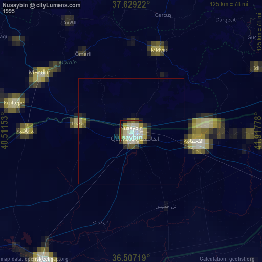
» NASA, Earths city lights 1995
» NASA city lights 2003
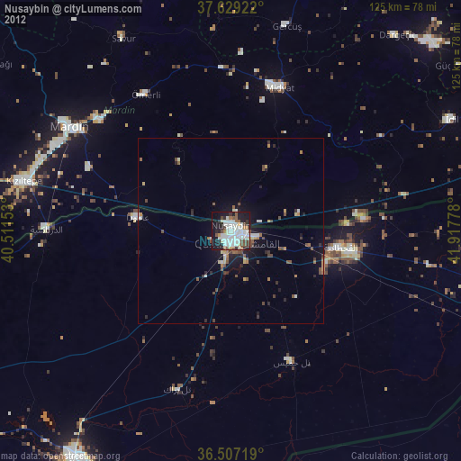
» Earth at Night: Flat Maps 2012, 2016