Ahuachapán night lights from space
Night Light of Ahuachapán from space (El Salvador) Src. Average luminocity for 10x10km area is 12.4607% and for 50x50km: 4.0164%.
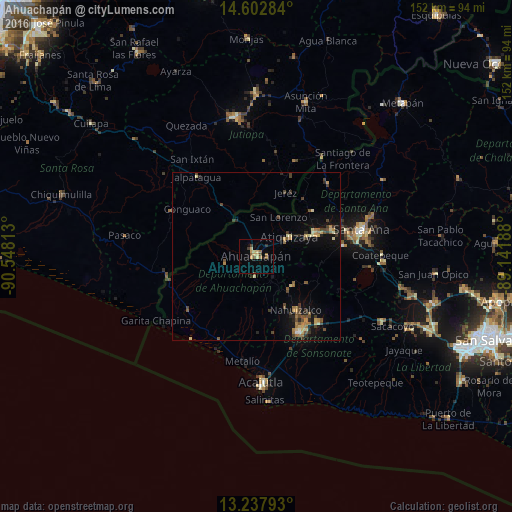
Analysis of Ahuachapán night lights 2016
Square area 10x10 km:
 0%
0%90-99
0%80-89
3.1%70-79
3.31%60-69
3.1%50-59
2.07%40-49
1.24%30-39
1.86%20-29
1.24%10-19
0.21%0-9
83.88%Square area 50x50 km:
0.04%90-99
0.17%80-89
0.8%70-79
0.58%60-69
0.76%50-59
0.58%40-49
0.98%30-39
0.77%20-29
0.71%10-19
2.41%0-9
92.21%Clear (daylight) street map image can be seen on geolist.org.
Map coordinates:
14° 36' 10.2" North, 90° 32' 53.3" West
13° 55' 17" North, 89° 50' 42" West
13° 14' 16.5" North, 89° 8' 30.8" West
Some cities around Ahuachapán sort by population:
• Chalchuapa
19.1 km =11.9 mi,  67°
67°
• Sonzacate
25.1 km =15.6 mi,  145°
145°
• Juayúa
13.9 km =8.6 mi,  129°
129°
• Atiquizaya
11.7 km =7.3 mi,  58°
58°
• San Antonio del Monte
25.5 km =15.8 mi, 153°
• Concepción de Ataco
5.7 km =3.5 mi,  183°
183°
• Nahuizalco
19.8 km =12.3 mi,  143°
143°
• Tacuba
9.4 km =5.8 mi,  256°
256°
3587426 (p: 34,102)
Sources (retrieved 2019-11-25):
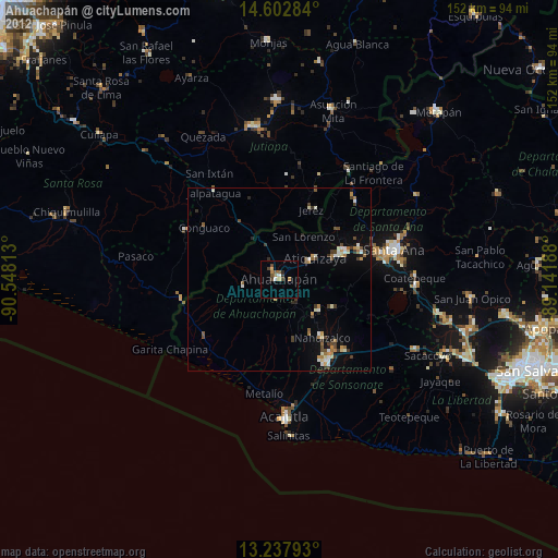
» Earth at Night: Flat Maps 2012, 2016