Nahuizalco night lights from space
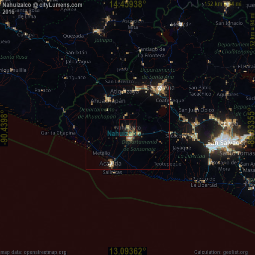
Night Light of Nahuizalco (Sonsonate) from space (El Salvador) Src. Average luminocity for 10x10km area is 19.8161% and for 50x50km: 5.8074%.
Analysis of Nahuizalco night lights 2016
Square area 10x10 km:
 0%
0%90-99
0%80-89
1.03%70-79
2.48%60-69
8.88%50-59
2.27%40-49
7.64%30-39
3.31%20-29
5.58%10-19
14.67%0-9
54.13%Square area 50x50 km:
0.17%90-99
0.39%80-89
1.08%70-79
0.82%60-69
1.17%50-59
0.98%40-49
1.14%30-39
0.88%20-29
1.01%10-19
3.58%0-9
88.77%Clear (daylight) street map image can be seen on geolist.org.
Map coordinates:
14° 27' 33.8" North, 90° 26' 23.3" West
13° 46' 39" North, 89° 44' 12" West
13° 5' 37" North, 89° 2' 0.8" West
Some cities around Nahuizalco sort by population:
• Sonsonate
6.7 km =4.2 mi,  168°
168°
• Ahuachapán
19.8 km =12.3 mi,  323°
323°
• Izalco
7.8 km =4.8 mi,  117°
117°
• Sonzacate
5.4 km =3.4 mi,  153°
153°
• Juayúa
7.2 km =4.5 mi,  352°
352°
• Atiquizaya
22.2 km =13.8 mi,  355°
355°
• San Antonio del Monte
6.8 km =4.2 mi,  181°
181°
• Concepción de Ataco
15.9 km =9.9 mi,  310°
310°
3584297 (p: 7,358)
Sources (retrieved 2019-11-25):
» Earth at Night: Flat Maps 2012, 2016