Totness night lights from space
Night Light of Totness (Coronie) from space (Suriname) Src. Average luminocity for 10x10km area is 3.3802% and for 50x50km: 0.1541%.
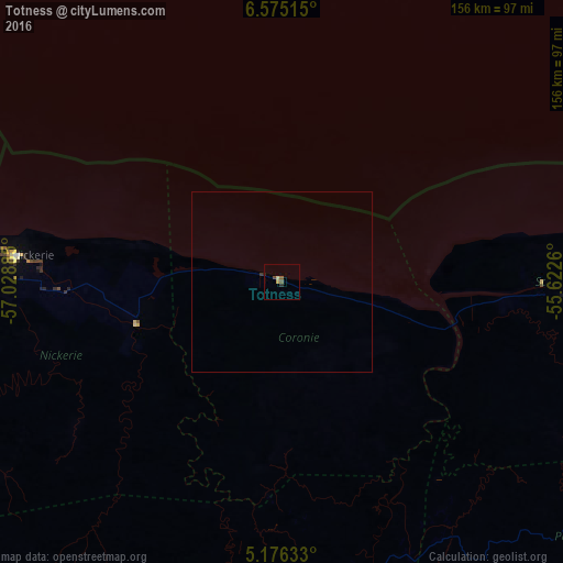
Analysis of Totness night lights 2016
Square area 10x10 km:
 0%
0%90-99
0%80-89
1.03%70-79
0.62%60-69
0%50-59
1.65%40-49
0.83%30-39
0%20-29
1.65%10-19
0%0-9
94.21%Square area 50x50 km:
0%90-99
0%80-89
0.04%70-79
0.03%60-69
0%50-59
0.07%40-49
0.03%30-39
0.03%20-29
0.07%10-19
0%0-9
99.73%Clear (daylight) street map image can be seen on geolist.org.
Map coordinates:
6° 34' 30.5" North, 57° 1' 43.9" West
5° 52' 34.2" North, 56° 19' 32.6" West
5° 10' 34.8" North, 55° 37' 21.4" West
Some cities around Totness sort by population:
• Paramaribo
128.2 km =79.7 mi,  90°
90°
• New Amsterdam, GY
138.1 km =85.8 mi,  287°
287°
• Lelydorp
122.4 km =76.1 mi,  99°
99°
• Nieuw Nickerie
71.8 km =44.6 mi,  274°
274°
• Skeldon, GY
89.3 km =55.5 mi, 270°
• Nieuw Amsterdam
136.8 km =85 mi, 89°
• Groningen
95.4 km =59.3 mi, 95°
• Onverwacht
129.1 km =80.2 mi, 104°
3382867 (p: 1,685)
Sources (retrieved 2019-11-25):
» Earth at Night: Flat Maps 2012, 2016