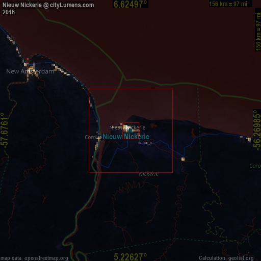
Nieuw Nickerie night lights from space
Night Light of Nieuw Nickerie (Nickerie) from space (Suriname) Src. Average luminocity for 10x10km area is 16.6488% and for 50x50km: 1.2883%.
Analysis of Nieuw Nickerie night lights 2016
Square area 10x10 km:
 1.03%
1.03%90-99
1.65%80-89
4.34%70-79
2.07%60-69
0.83%50-59
1.24%40-49
3.72%30-39
2.89%20-29
4.75%10-19
5.58%0-9
71.9%Square area 50x50 km:
0.04%90-99
0.07%80-89
0.2%70-79
0.1%60-69
0.07%50-59
0.15%40-49
0.48%30-39
0.39%20-29
0.59%10-19
0.45%0-9
97.46%Clear (daylight) street map image can be seen on geolist.org.
Map coordinates:
6° 37' 29.9" North, 57° 40' 34" West
5° 55' 33.8" North, 56° 58' 22.7" West
5° 13' 34.6" North, 56° 16' 11.5" West
Some cities around Nieuw Nickerie sort by population:
• Georgetown, GY
163.1 km =101.3 mi,  306°
306°
• Linden, GY
147.8 km =91.8 mi,  273°
273°
• New Amsterdam, GY
70 km =43.5 mi,  300°
300°
• Skeldon, GY
18.4 km =11.4 mi,  255°
255°
• Rosignol, GY
73.2 km =45.5 mi, 301°
• Groningen
167.2 km =103.9 mi,  94°
94°
• Totness
71.8 km =44.6 mi, 94°
• Fort Wellington, GY
86.8 km =53.9 mi, 306°
3383427 (p: 13,143)
Sources (retrieved 2019-11-25):
» Earth at Night: Flat Maps 2012, 2016