Mbaké night lights from space
Night Light of Mbaké (Diourbel) from space (Senegal) Src. Average luminocity for 10x10km area is 29.1488% and for 50x50km: 3.9908%.
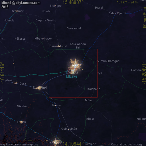
Analysis of Mbaké night lights 2016
Square area 10x10 km:
 1.65%
1.65%90-99
4.13%80-89
1.65%70-79
6.82%60-69
9.5%50-59
3.93%40-49
3.72%30-39
3.31%20-29
7.02%10-19
22.31%0-9
35.95%Square area 50x50 km:
0.25%90-99
0.56%80-89
0.31%70-79
0.74%60-69
1.07%50-59
0.5%40-49
0.69%30-39
0.55%20-29
0.95%10-19
2.9%0-9
91.47%Clear (daylight) street map image can be seen on geolist.org.
Map coordinates:
15° 28' 8.7" North, 16° 36' 40.2" West
14° 47' 25.2" North, 15° 54' 28.9" West
14° 6' 34" North, 15° 12' 17.7" West
Some cities around Mbaké sort by population:
• Touba
7.1 km =4.4 mi,  21°
21°
• Kaolack
73.2 km =45.5 mi,  194°
194°
• Tiébo
39.1 km =24.3 mi,  243°
243°
• Pourham
73.4 km =45.6 mi,  228°
228°
• Guinguinéo
58.4 km =36.3 mi,  184°
184°
• Gandiaye
73 km =45.4 mi,  211°
211°
• Fatick
73.9 km =45.9 mi, 226°
• Diourbel
39.4 km =24.5 mi,  246°
246°
2248698 (p: 74,100)
Sources (retrieved 2019-11-25):
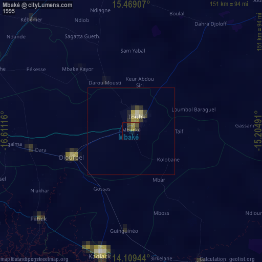
» NASA, Earths city lights 1995
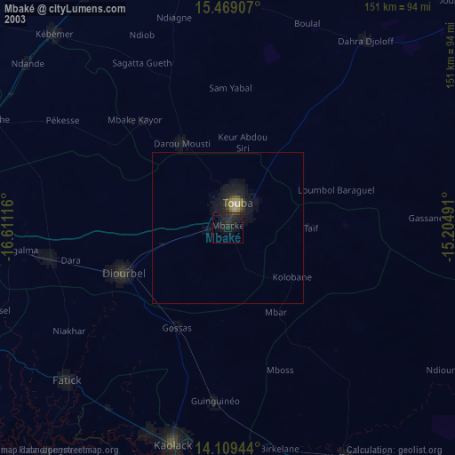
» NASA city lights 2003
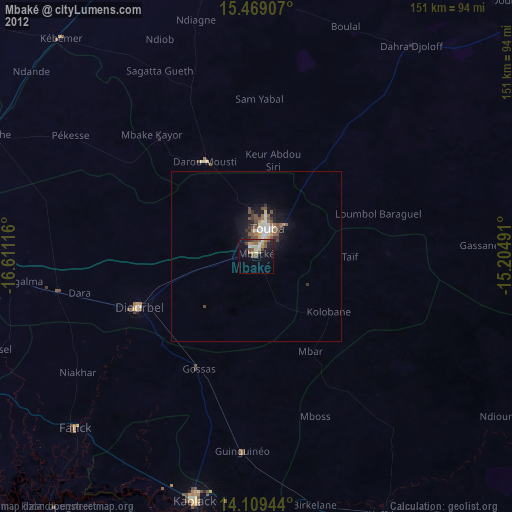
» Earth at Night: Flat Maps 2012, 2016