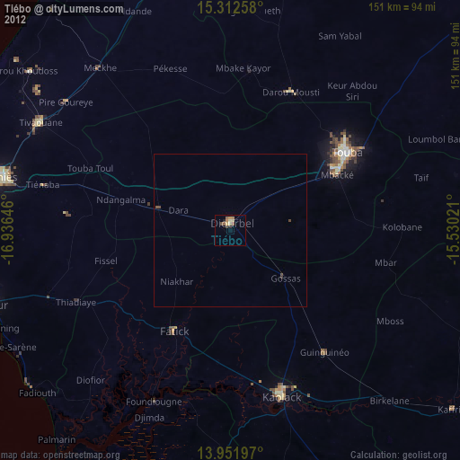
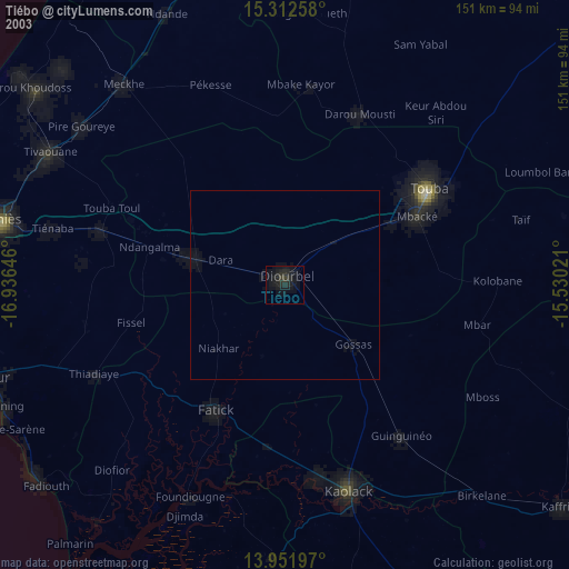
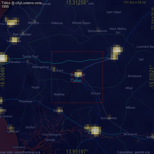
Tiébo night lights from space
Night Light of Tiébo (Diourbel) from space (Senegal) Src. Average luminocity for 10x10km area is 11.6429% and for 50x50km: 0.5699%.
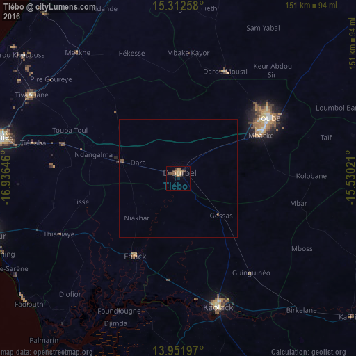
Analysis of Tiébo night lights 2016
Square area 10x10 km:
 0%
0%90-99
0%80-89
1.95%70-79
3.9%60-69
2.81%50-59
0.87%40-49
4.76%30-39
2.16%20-29
1.08%10-19
0.65%0-9
81.82%Square area 50x50 km:
0%90-99
0%80-89
0.07%70-79
0.15%60-69
0.11%50-59
0.07%40-49
0.29%30-39
0.11%20-29
0.05%10-19
0.03%0-9
99.12%Clear (daylight) street map image can be seen on geolist.org.
Map coordinates:
15° 18' 45.3" North, 16° 56' 11.3" West
14° 37' 60" North, 16° 13' 60" West
13° 57' 7.1" North, 15° 31' 48.8" West
Some cities around Tiébo sort by population:
• Touba
44.7 km =27.8 mi,  57°
57°
• Mbaké
39.1 km =24.3 mi, 63°
• Pourham
37.2 km =23.1 mi,  212°
212°
• Guinguinéo
50.9 km =31.6 mi,  143°
143°
• Khombole
52.3 km =32.5 mi,  286°
286°
• Gandiaye
44.6 km =27.7 mi,  184°
184°
• Fatick
38.2 km =23.7 mi, 208°
• Diourbel
2 km =1.2 mi,  325°
325°
2244616 (p: 100,289)
Sources (retrieved 2019-11-25):
» NASA, Earths city lights 1995
» NASA city lights 2003
» Earth at Night: Flat Maps 2012, 2016