Moyamba night lights from space
Night Light of Moyamba (Southern Province) from space (Sierra Leone) Src. Average luminocity for 10x10km area is 0% and for 50x50km: 0%.
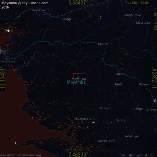
Analysis of Moyamba night lights 2016
Square area 10x10 km:
 0%
0%90-99
0%80-89
0%70-79
0%60-69
0%50-59
0%40-49
0%30-39
0%20-29
0%10-19
0%0-9
100%Square area 50x50 km:
0%90-99
0%80-89
0%70-79
0%60-69
0%50-59
0%40-49
0%30-39
0%20-29
0%10-19
0%0-9
100%Clear (daylight) street map image can be seen on geolist.org.
Map coordinates:
8° 51' 15.7" North, 13° 8' 5.3" West
8° 9' 32.3" North, 12° 25' 54" West
7° 27' 44.6" North, 11° 43' 42.8" West
Some cities around Moyamba sort by population:
• Bo
79.3 km =49.3 mi,  105°
105°
• Lunsar
59.5 km =37 mi,  348°
348°
• Port Loko
78 km =48.5 mi,  329°
329°
• Waterloo
73.1 km =45.4 mi,  285°
285°
• Bumpe
65.1 km =40.5 mi,  117°
117°
• Rokupr
57.2 km =35.5 mi,  5°
5°
• Bonthe
70.8 km =44 mi,  186°
186°
• Sumbuya
76.9 km =47.8 mi,  137°
137°
2405013 (p: 6,700)
Sources (retrieved 2019-11-25):
» Earth at Night: Flat Maps 2012, 2016