Sumbuya night lights from space
Night Light of Sumbuya (Southern Province) from space (Sierra Leone) Src. Average luminocity for 10x10km area is 0% and for 50x50km: 0.0192%.
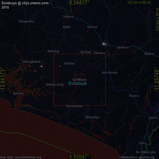
Analysis of Sumbuya night lights 2016
Square area 10x10 km:
 0%
0%90-99
0%80-89
0%70-79
0%60-69
0%50-59
0%40-49
0%30-39
0%20-29
0%10-19
0%0-9
100%Square area 50x50 km:
0%90-99
0%80-89
0%70-79
0%60-69
0%50-59
0%40-49
0.03%30-39
0%20-29
0%10-19
0%0-9
99.97%Clear (daylight) street map image can be seen on geolist.org.
Map coordinates:
8° 20' 39" North, 12° 39' 49.4" West
7° 38' 52.4" North, 11° 57' 38.2" West
6° 57' 1.7" North, 11° 15' 26.9" West
Some cities around Sumbuya sort by population:
• Bo
42.9 km =26.7 mi,  34°
34°
• Bumpe
27.8 km =17.3 mi,  12°
12°
• Gandorhun
31.3 km =19.4 mi,  109°
109°
• Gandorhun
22.3 km =13.9 mi,  140°
140°
• Pujehun
41.7 km =25.9 mi, 140°
• Baoma
47 km =29.2 mi,  35°
35°
• Foindu
53.1 km =33 mi,  119°
119°
• Mamboma
57.3 km =35.6 mi, 31°
2403698 (p: 7,074)
Sources (retrieved 2019-11-25):
» Earth at Night: Flat Maps 2012, 2016