Lunsar night lights from space
Night Light of Lunsar (Northern Province) from space (Sierra Leone) Src. Average luminocity for 10x10km area is 0.688% and for 50x50km: 0.028%.
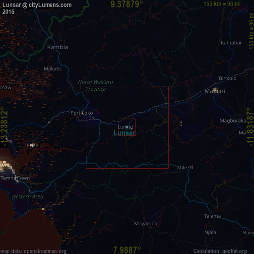
Analysis of Lunsar night lights 2016
Square area 10x10 km:
 0%
0%90-99
0%80-89
0%70-79
0%60-69
0%50-59
0.21%40-49
0.62%30-39
0%20-29
0.83%10-19
0%0-9
98.35%Square area 50x50 km:
0%90-99
0%80-89
0%70-79
0%60-69
0%50-59
0.01%40-49
0.03%30-39
0%20-29
0.03%10-19
0%0-9
99.93%Clear (daylight) street map image can be seen on geolist.org.
Map coordinates:
9° 22' 43.6" North, 13° 14' 17.2" West
8° 41' 3.8" North, 12° 32' 6" West
7° 59' 19.3" North, 11° 49' 54.7" West
Some cities around Lunsar sort by population:
• Makeni
58.4 km =36.3 mi,  67°
67°
• Port Loko
29.1 km =18.1 mi,  288°
288°
• Magburaka
64.6 km =40.1 mi,  86°
86°
• Rokupr
16.6 km =10.3 mi,  95°
95°
• Kambia
64.6 km =40.1 mi,  319°
319°
• Moyamba
59.5 km =37 mi,  168°
168°
• Mambolo
61 km =37.9 mi,  295°
295°
• Masingbi
65 km =40.4 mi,  80°
80°
2406916 (p: 22,461)
Sources (retrieved 2019-11-25):
» Earth at Night: Flat Maps 2012, 2016