Rokupr night lights from space
Night Light of Rokupr (Northern Province) from space (Sierra Leone) Src. Average luminocity for 10x10km area is 0% and for 50x50km: 0.063%.
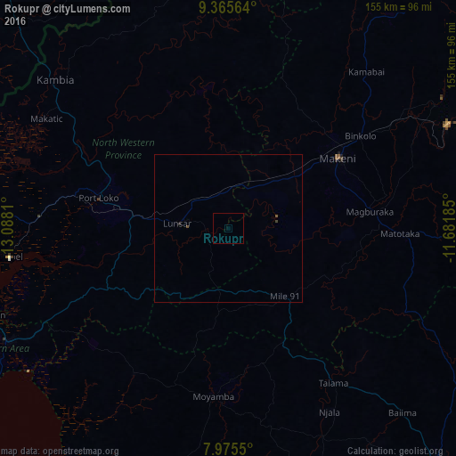
Analysis of Rokupr night lights 2016
Square area 10x10 km:
 0%
0%90-99
0%80-89
0%70-79
0%60-69
0%50-59
0%40-49
0%30-39
0%20-29
0%10-19
0%0-9
100%Square area 50x50 km:
0%90-99
0%80-89
0%70-79
0%60-69
0%50-59
0.03%40-49
0.05%30-39
0.02%20-29
0.03%10-19
0%0-9
99.87%Clear (daylight) street map image can be seen on geolist.org.
Map coordinates:
9° 21' 56.3" North, 13° 5' 17.2" West
8° 40' 16.4" North, 12° 23' 5.9" West
7° 58' 31.8" North, 11° 40' 54.7" West
Some cities around Rokupr sort by population:
• Makeni
44.4 km =27.6 mi,  57°
57°
• Lunsar
16.6 km =10.3 mi,  275°
275°
• Port Loko
45.4 km =28.2 mi, 283°
• Magburaka
48.3 km =30 mi,  83°
83°
• Binkolo
54.3 km =33.7 mi,  54°
54°
• Moyamba
57.2 km =35.5 mi,  185°
185°
• Mambolo
76.7 km =47.7 mi,  291°
291°
• Masingbi
49.2 km =30.6 mi, 75°
2404303 (p: 12,504)
Sources (retrieved 2019-11-25):
» Earth at Night: Flat Maps 2012, 2016