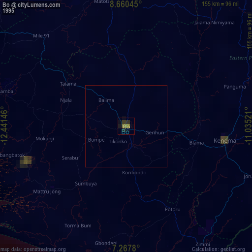
Bo night lights from space
Night Light of Bo (Southern Province) from space (Sierra Leone) Src. Average luminocity for 10x10km area is 1.5103% and for 50x50km: 0.0615%.
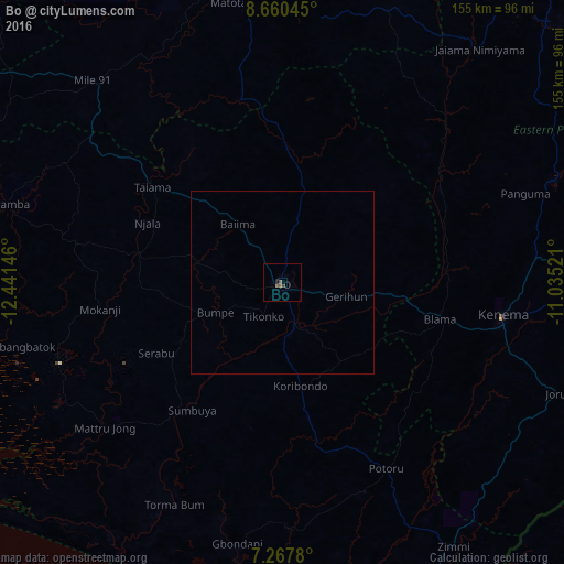
Analysis of Bo night lights 2016
Square area 10x10 km:
 0%
0%90-99
0%80-89
0%70-79
0%60-69
0%50-59
0.83%40-49
0.83%30-39
1.65%20-29
0%10-19
0%0-9
96.69%Square area 50x50 km:
0%90-99
0%80-89
0%70-79
0%60-69
0%50-59
0.03%40-49
0.03%30-39
0.07%20-29
0%10-19
0%0-9
99.87%Clear (daylight) street map image can be seen on geolist.org.
Map coordinates:
8° 39' 37.6" North, 12° 26' 29.3" West
7° 57' 53" North, 11° 44' 18" West
7° 16' 4.1" North, 11° 2' 6.8" West
Some cities around Bo sort by population:
• Bumpe
20.1 km =12.5 mi,  246°
246°
• Gandorhun
45.8 km =28.5 mi,  173°
173°
• Gandorhun
53.3 km =33.1 mi,  191°
191°
• Blama
44.4 km =27.6 mi,  103°
103°
• Boajibu
50.3 km =31.3 mi,  60°
60°
• Sumbuya
42.9 km =26.7 mi,  214°
214°
• Baoma
4.1 km =2.5 mi,  39°
39°
• Mamboma
14.7 km =9.1 mi,  21°
21°
2410048 (p: 174,354)
Sources (retrieved 2019-11-25):
» NASA, Earths city lights 1995
» NASA city lights 2003
» Earth at Night: Flat Maps 2012, 2016