Želiezovce night lights from space
Night Light of Želiezovce (Nitriansky kraj) from space (Slovakia) Src. Average luminocity for 10x10km area is 1.8395% and for 50x50km: 1.2184%.
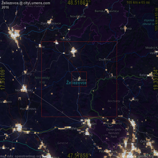
Analysis of Želiezovce night lights 2016
Square area 10x10 km:
 0%
0%90-99
0%80-89
0%70-79
0.57%60-69
0.28%50-59
0.43%40-49
1.56%30-39
0.57%20-29
0%10-19
0%0-9
96.59%Square area 50x50 km:
0.21%90-99
0.21%80-89
0.07%70-79
0.09%60-69
0.15%50-59
0.14%40-49
0.26%30-39
0.09%20-29
0.08%10-19
0.53%0-9
98.17%Clear (daylight) street map image can be seen on geolist.org.
Map coordinates:
48° 31' 7.1" North, 17° 57' 3.9" East
48° 3' 2.7" North, 18° 39' 15.2" East
47° 34' 42.9" North, 19° 21' 26.4" East
Some cities around Želiezovce sort by population:
• Levice
18.7 km =11.6 mi,  349°
349°
• Esztergom, HU
29.4 km =18.3 mi,  167°
167°
• Štúrovo
28.8 km =17.9 mi, 170°
• Šurany
35.1 km =21.8 mi,  276°
276°
• Vráble
33.4 km =20.8 mi,  309°
309°
• Šahy
22.1 km =13.7 mi,  83°
83°
• Nyergesújfalu, HU
33.1 km =20.6 mi,  192°
192°
• Tát, HU
34.4 km =21.4 mi,  180°
180°
3056547 (p: 7,522)
Sources (retrieved 2019-11-25):
» Earth at Night: Flat Maps 2012, 2016