Levice night lights from space
Night Light of Levice (Nitriansky kraj) from space (Slovakia) Src. Average luminocity for 10x10km area is 16.6414% and for 50x50km: 1.6165%.
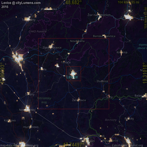
Analysis of Levice night lights 2016
Square area 10x10 km:
 3.72%
3.72%90-99
3.42%80-89
1.93%70-79
1.64%60-69
0%50-59
2.38%40-49
1.79%30-39
0%20-29
0.6%10-19
11.16%0-9
73.36%Square area 50x50 km:
0.25%90-99
0.28%80-89
0.14%70-79
0.16%60-69
0.2%50-59
0.18%40-49
0.27%30-39
0.16%20-29
0.19%10-19
0.61%0-9
97.56%Clear (daylight) street map image can be seen on geolist.org.
Map coordinates:
48° 40' 55.2" North, 17° 54' 14.1" East
48° 12' 56.3" North, 18° 36' 25.4" East
47° 44' 41.9" North, 19° 18' 36.6" East
Some cities around Levice sort by population:
• Zlaté Moravce
24.3 km =15.1 mi,  321°
321°
• Šurany
34.5 km =21.4 mi,  245°
245°
• Banská Štiavnica
34.2 km =21.3 mi,  40°
40°
• Vráble
22.3 km =13.9 mi,  278°
278°
• Šahy
29.9 km =18.6 mi,  121°
121°
• Želiezovce
18.7 km =11.6 mi,  169°
169°
• Nová Baňa
23.2 km =14.4 mi,  6°
6°
• Žarnovica
30.6 km =19 mi,  15°
15°
3059101 (p: 37,574)
Sources (retrieved 2019-11-25):
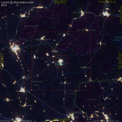
» Earth at Night: Flat Maps 2012, 2016