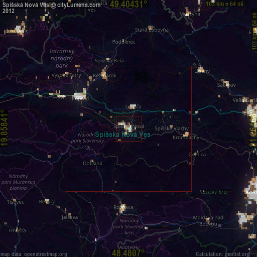
Spišská Nová Ves night lights from space
Night Light of Spišská Nová Ves (Košický kraj) from space (Slovakia) Src. Average luminocity for 10x10km area is 8.5625% and for 50x50km: 1.4421%.
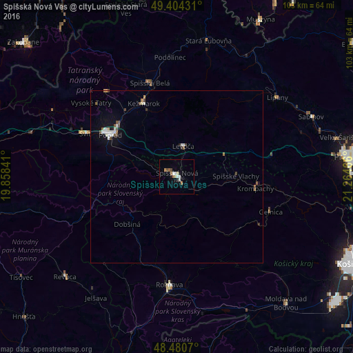
Analysis of Spišská Nová Ves night lights 2016
Square area 10x10 km:
 1.42%
1.42%90-99
1.56%80-89
0.99%70-79
0.99%60-69
1.28%50-59
0.57%40-49
1.14%30-39
0%20-29
1.14%10-19
0.57%0-9
90.34%Square area 50x50 km:
0.29%90-99
0.25%80-89
0.09%70-79
0.08%60-69
0.14%50-59
0.23%40-49
0.27%30-39
0.07%20-29
0.11%10-19
0.64%0-9
97.84%Clear (daylight) street map image can be seen on geolist.org.
Map coordinates:
49° 24' 15.5" North, 19° 51' 30.3" East
48° 56' 40.7" North, 20° 33' 41.5" East
48° 28' 50.5" North, 21° 15' 52.8" East
Some cities around Spišská Nová Ves sort by population:
• Poprad
23.2 km =14.4 mi,  304°
304°
• Kežmarok
23.2 km =14.4 mi,  336°
336°
• Rožňava
31.7 km =19.7 mi,  183°
183°
• Levoča
8.9 km =5.5 mi,  14°
14°
• Krompachy
23.2 km =14.4 mi,  98°
98°
• Svit
28.9 km =18 mi, 296°
• Gelnica
29.2 km =18.1 mi,  109°
109°
• Lipany
37.4 km =23.2 mi,  51°
51°
723526 (p: 39,195)
Sources (retrieved 2019-11-25):
» Earth at Night: Flat Maps 2012, 2016