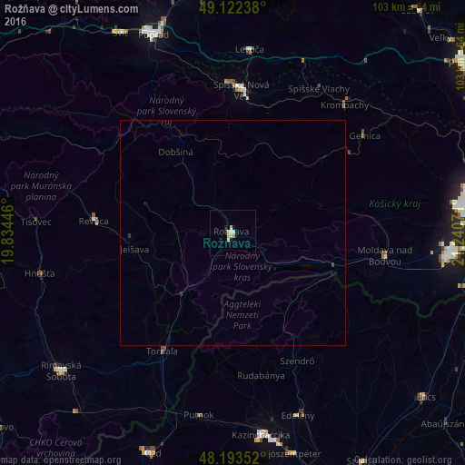
Rožňava night lights from space
Night Light of Rožňava (Košický kraj) from space (Slovakia) Src. Average luminocity for 10x10km area is 5.5164% and for 50x50km: 0.2415%.
Analysis of Rožňava night lights 2016
Square area 10x10 km:
 0.74%
0.74%90-99
0.45%80-89
2.83%70-79
0.15%60-69
0.6%50-59
0%40-49
0%30-39
0%20-29
0.6%10-19
1.79%0-9
92.86%Square area 50x50 km:
0.03%90-99
0.02%80-89
0.11%70-79
0.01%60-69
0.02%50-59
0%40-49
0.02%30-39
0.02%20-29
0.05%10-19
0.09%0-9
99.64%Clear (daylight) street map image can be seen on geolist.org.
Map coordinates:
49° 7' 20.6" North, 19° 50' 4.1" East
48° 39' 36.3" North, 20° 32' 15.3" East
48° 11' 36.7" North, 21° 14' 26.6" East
Some cities around Rožňava sort by population:
• Spišská Nová Ves
31.7 km =19.7 mi,  3°
3°
• Levoča
40.4 km =25.1 mi,  5°
5°
• Revúca
31 km =19.3 mi,  274°
274°
• Edelény, HU
42.6 km =26.5 mi,  160°
160°
• Moldava nad Bodvou
34.3 km =21.3 mi,  98°
98°
• Krompachy
37.6 km =23.4 mi,  41°
41°
• Putnok, HU
40.8 km =25.4 mi,  190°
190°
• Gelnica
36.5 km =22.7 mi,  53°
53°
723713 (p: 19,261)
Sources (retrieved 2019-11-25):
» Earth at Night: Flat Maps 2012, 2016