Kežmarok night lights from space
Night Light of Kežmarok (Prešovský kraj) from space (Slovakia) Src. Average luminocity for 10x10km area is 3.1513% and for 50x50km: 1.6641%.
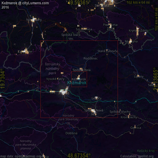
Analysis of Kežmarok night lights 2016
Square area 10x10 km:
 0.56%
0.56%90-99
0%80-89
0.56%70-79
0.56%60-69
0.56%50-59
0%40-49
1.12%30-39
0.56%20-29
0%10-19
0%0-9
96.08%Square area 50x50 km:
0.3%90-99
0.25%80-89
0.11%70-79
0.17%60-69
0.18%50-59
0.3%40-49
0.3%30-39
0.09%20-29
0.13%10-19
0.65%0-9
97.52%Clear (daylight) street map image can be seen on geolist.org.
Map coordinates:
49° 35' 37" North, 19° 43' 49.4" East
49° 8' 8.6" North, 20° 26' 0.7" East
48° 40' 24.7" North, 21° 8' 11.9" East
Some cities around Kežmarok sort by population:
• Poprad
12.9 km =8 mi,  230°
230°
• Spišská Nová Ves
23.2 km =14.4 mi,  156°
156°
• Stará Ľubovňa
25.8 km =16 mi,  45°
45°
• Levoča
17.1 km =10.6 mi,  137°
137°
• Svit
18.5 km =11.5 mi,  243°
243°
• Spišská Belá
6 km =3.7 mi,  18°
18°
• Lipany
38.6 km =24 mi,  87°
87°
• Szczawnica, PL
32.3 km =20.1 mi,  6°
6°
724503 (p: 21,391)
Sources (retrieved 2019-11-25):
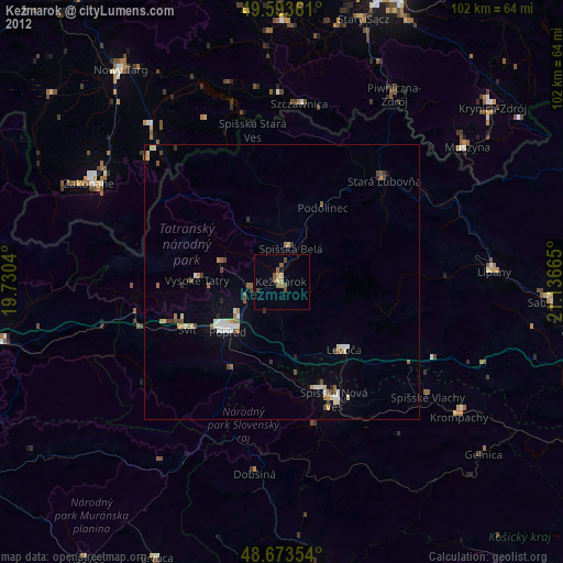
» Earth at Night: Flat Maps 2012, 2016