Rimavská Sobota night lights from space
Night Light of Rimavská Sobota (Banskobystrický kraj) from space (Slovakia) Src. Average luminocity for 10x10km area is 5.0795% and for 50x50km: 0.6962%.
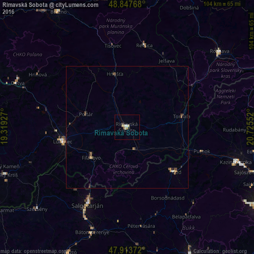
Analysis of Rimavská Sobota night lights 2016
Square area 10x10 km:
 0%
0%90-99
1.14%80-89
1.99%70-79
0.43%60-69
0.43%50-59
0.57%40-49
0%30-39
0.57%20-29
1.14%10-19
0%0-9
93.75%Square area 50x50 km:
0.02%90-99
0.07%80-89
0.1%70-79
0.11%60-69
0.07%50-59
0.15%40-49
0.25%30-39
0.08%20-29
0.13%10-19
0.09%0-9
98.93%Clear (daylight) street map image can be seen on geolist.org.
Map coordinates:
48° 50' 51.6" North, 19° 19' 9.4" East
48° 22' 58.2" North, 20° 1' 20.6" East
47° 54' 49.4" North, 20° 43' 31.9" East
Some cities around Rimavská Sobota sort by population:
• Salgótarján, HU
35.5 km =22.1 mi,  207°
207°
• Ózd, HU
27.6 km =17.1 mi,  131°
131°
• Lučenec
26.8 km =16.7 mi,  257°
257°
• Revúca
34.1 km =21.2 mi,  11°
11°
• Fiľakovo
19.4 km =12.1 mi,  228°
228°
• Hriňová
42.5 km =26.4 mi,  300°
300°
• Putnok, HU
31.7 km =19.7 mi,  106°
106°
• Poltár
17.7 km =11 mi,  287°
287°
723736 (p: 25,235)
Sources (retrieved 2019-11-25):
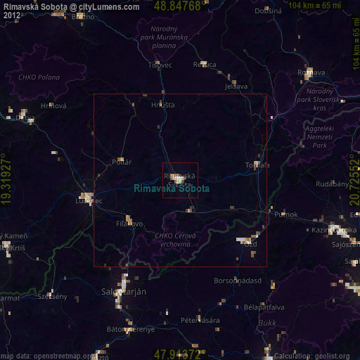
» Earth at Night: Flat Maps 2012, 2016