Poltár night lights from space
Night Light of Poltár (Banskobystrický kraj) from space (Slovakia) Src. Average luminocity for 10x10km area is 0.7472% and for 50x50km: 0.8485%.
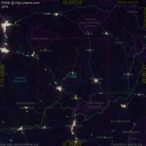
Analysis of Poltár night lights 2016
Square area 10x10 km:
 0%
0%90-99
0%80-89
0%70-79
0%60-69
0%50-59
0%40-49
1.14%30-39
0%20-29
0.14%10-19
0.43%0-9
98.3%Square area 50x50 km:
0.03%90-99
0.09%80-89
0.15%70-79
0.13%60-69
0.1%50-59
0.17%40-49
0.22%30-39
0.07%20-29
0.21%10-19
0.12%0-9
98.71%Clear (daylight) street map image can be seen on geolist.org.
Map coordinates:
48° 53' 43.2" North, 19° 5' 27.5" East
48° 25' 51.4" North, 19° 47' 38.7" East
47° 57' 44.1" North, 20° 29' 50" East
Some cities around Poltár sort by population:
• Salgótarján, HU
36.9 km =22.9 mi,  178°
178°
• Lučenec
14.4 km =8.9 mi,  220°
220°
• Rimavská Sobota
17.7 km =11 mi,  107°
107°
• Detva
31.1 km =19.3 mi,  297°
297°
• Revúca
36.8 km =22.9 mi,  40°
40°
• Fiľakovo
18.3 km =11.4 mi,  172°
172°
• Hriňová
25.6 km =15.9 mi,  309°
309°
• Čierny Balog
36.7 km =22.8 mi,  343°
343°
3058083 (p: 6,099)
Sources (retrieved 2019-11-25):
» Earth at Night: Flat Maps 2012, 2016