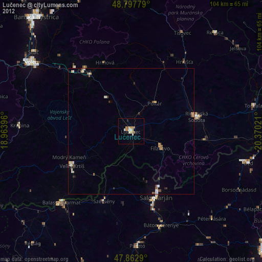
Lučenec night lights from space
Night Light of Lučenec (Banskobystrický kraj) from space (Slovakia) Src. Average luminocity for 10x10km area is 8.7031% and for 50x50km: 1.0471%.
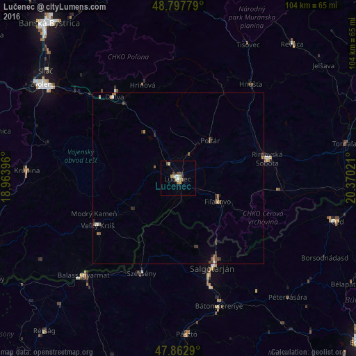
Analysis of Lučenec night lights 2016
Square area 10x10 km:
 0.85%
0.85%90-99
0.99%80-89
1.42%70-79
1.7%60-69
1.28%50-59
0.71%40-49
2.13%30-39
0.43%20-29
0.71%10-19
0%0-9
89.77%Square area 50x50 km:
0.07%90-99
0.09%80-89
0.11%70-79
0.12%60-69
0.18%50-59
0.22%40-49
0.33%30-39
0.16%20-29
0.22%10-19
0.1%0-9
98.39%Clear (daylight) street map image can be seen on geolist.org.
Map coordinates:
48° 47' 52" North, 18° 57' 50.3" East
48° 19' 57" North, 19° 40' 1.5" East
47° 51' 46.4" North, 20° 22' 12.8" East
Some cities around Lučenec sort by population:
• Salgótarján, HU
27.9 km =17.3 mi,  158°
158°
• Rimavská Sobota
26.8 km =16.7 mi,  77°
77°
• Detva
31.3 km =19.4 mi,  324°
324°
• Veľký Krtíš
27.1 km =16.8 mi,  239°
239°
• Fiľakovo
13.7 km =8.5 mi,  121°
121°
• Hriňová
29.2 km =18.1 mi,  339°
339°
• Szécsény, HU
30.1 km =18.7 mi,  201°
201°
• Poltár
14.4 km =8.9 mi,  40°
40°
3058986 (p: 28,159)
Sources (retrieved 2019-11-25):
» Earth at Night: Flat Maps 2012, 2016