Hriňová night lights from space
Night Light of Hriňová (Banskobystrický kraj) from space (Slovakia) Src. Average luminocity for 10x10km area is 0.4896% and for 50x50km: 0.6052%.
Analysis of Hriňová night lights 2016
Square area 10x10 km:
 0%
0%90-99
0%80-89
0%70-79
0%60-69
0%50-59
0.45%40-49
0.15%30-39
0%20-29
0.6%10-19
0%0-9
98.81%Square area 50x50 km:
0.02%90-99
0.05%80-89
0.06%70-79
0.03%60-69
0.11%50-59
0.08%40-49
0.14%30-39
0.07%20-29
0.2%10-19
0.33%0-9
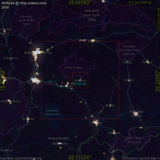
98.91%Clear (daylight) street map image can be seen on geolist.org.
Map coordinates:
49° 2' 27.3" North, 18° 49' 21.4" East
48° 34' 40.3" North, 19° 31' 32.7" East
48° 6' 37.9" North, 20° 13' 43.9" East
Some cities around Hriňová sort by population:
• Banská Bystrica
32.7 km =20.3 mi,  303°
303°
• Zvolen
27.4 km =17 mi,  269°
269°
• Lučenec
29.2 km =18.1 mi,  159°
159°
• Brezno
26.5 km =16.5 mi,  17°
17°
• Detva
8 km =5 mi,  256°
256°
• Fiľakovo
41 km =25.5 mi,  147°
147°
• Poltár
25.6 km =15.9 mi,  129°
129°
• Čierny Balog
21 km =13 mi,  26°
26°
3059870 (p: 8,289)
Sources (retrieved 2019-11-25):
» Earth at Night: Flat Maps 2012, 2016