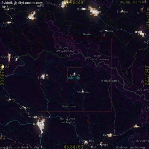
Svidník night lights from space
Night Light of Svidník (Prešovský kraj) from space (Slovakia) Src. Average luminocity for 10x10km area is 1.4318% and for 50x50km: 0.3809%.
Analysis of Svidník night lights 2016
Square area 10x10 km:
 0%
0%90-99
0.53%80-89
0%70-79
0.53%60-69
0%50-59
0.53%40-49
0%30-39
0%20-29
0.53%10-19
0%0-9
97.86%Square area 50x50 km:
0.07%90-99
0.09%80-89
0.03%70-79
0.06%60-69
0.03%50-59
0.03%40-49
0.04%30-39
0.04%20-29
0.05%10-19
0.01%0-9
99.55%Clear (daylight) street map image can be seen on geolist.org.
Map coordinates:
49° 45' 52.2" North, 20° 52' 1.8" East
49° 18' 29.5" North, 21° 34' 13.1" East
48° 50' 51.5" North, 22° 16' 24.3" East
Some cities around Svidník sort by population:
• Prešov
42.2 km =26.2 mi,  215°
215°
• Krosno, PL
44.7 km =27.8 mi,  18°
18°
• Bardejov
21.7 km =13.5 mi,  265°
265°
• Sabinov
41.1 km =25.5 mi,  236°
236°
• Krynica-Zdrój, PL
46 km =28.6 mi,  285°
285°
• Stropkov
13.2 km =8.2 mi,  153°
153°
• Medzilaborce
24.3 km =15.1 mi,  99°
99°
• Jedlicze, PL
45.9 km =28.5 mi,  7°
7°
723417 (p: 12,428)
Sources (retrieved 2019-11-25):
» Earth at Night: Flat Maps 2012, 2016