Liptovský Mikuláš night lights from space
Night Light of Liptovský Mikuláš (Žilinský kraj) from space (Slovakia) Src. Average luminocity for 10x10km area is 13.3655% and for 50x50km: 1.6435%.
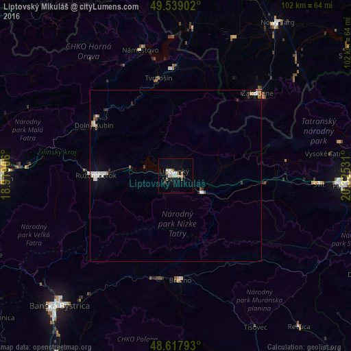
Analysis of Liptovský Mikuláš night lights 2016
Square area 10x10 km:
 2.1%
2.1%90-99
2.94%80-89
2.8%70-79
0%60-69
1.68%50-59
0.98%40-49
1.26%30-39
0.56%20-29
0.56%10-19
2.94%0-9
84.17%Square area 50x50 km:
0.33%90-99
0.35%80-89
0.2%70-79
0.01%60-69
0.2%50-59
0.2%40-49
0.07%30-39
0.21%20-29
0.15%10-19
0.38%0-9
97.89%Clear (daylight) street map image can be seen on geolist.org.
Map coordinates:
49° 32' 20.5" North, 18° 55' 8.6" East
49° 4' 50.2" North, 19° 37' 19.8" East
48° 37' 4.5" North, 20° 19' 31.1" East
Some cities around Liptovský Mikuláš sort by population:
• Ružomberok
22.9 km =14.2 mi,  268°
268°
• Zakopane, PL
34 km =21.1 mi,  44°
44°
• Brezno
30.7 km =19.1 mi,  178°
178°
• Dolný Kubín
27.3 km =17 mi,  301°
301°
• Tvrdošín
28.9 km =18 mi,  350°
350°
• Námestovo
37.8 km =23.5 mi,  344°
344°
• Trstená
31.2 km =19.4 mi,  358°
358°
• Čierny Balog
37.1 km =23.1 mi, 176°
3059050 (p: 33,509)
Sources (retrieved 2019-11-25):
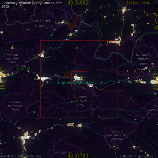
» Earth at Night: Flat Maps 2012, 2016