Dolný Kubín night lights from space
Night Light of Dolný Kubín (Žilinský kraj) from space (Slovakia) Src. Average luminocity for 10x10km area is 5.1832% and for 50x50km: 1.8276%.
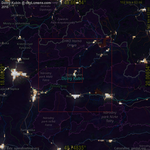
Analysis of Dolný Kubín night lights 2016
Square area 10x10 km:
 0.8%
0.8%90-99
0.8%80-89
0.53%70-79
0%60-69
1.07%50-59
1.47%40-49
0.13%30-39
1.34%20-29
0.8%10-19
0.53%0-9
92.51%Square area 50x50 km:
0.31%90-99
0.34%80-89
0.2%70-79
0.07%60-69
0.25%50-59
0.19%40-49
0.19%30-39
0.25%20-29
0.26%10-19
0.47%0-9
97.49%Clear (daylight) street map image can be seen on geolist.org.
Map coordinates:
49° 40' 1.3" North, 18° 36' 1" East
49° 12' 35.4" North, 19° 18' 12.3" East
48° 44' 54.1" North, 20° 0' 23.5" East
Some cities around Dolný Kubín sort by population:
• Martin
31.9 km =19.8 mi,  239°
239°
• Liptovský Mikuláš
27.3 km =17 mi,  121°
121°
• Ružomberok
15 km =9.3 mi,  178°
178°
• Tvrdošín
23.1 km =14.4 mi,  52°
52°
• Námestovo
25.5 km =15.8 mi,  30°
30°
• Liptovský Hrádok
35.9 km =22.3 mi, 121°
• Trstená
28 km =17.4 mi, 53°
• Vrútky
30.1 km =18.7 mi,  249°
249°
3060405 (p: 18,995)
Sources (retrieved 2019-11-25):
» Earth at Night: Flat Maps 2012, 2016