Brezno night lights from space
Night Light of Brezno (Banskobystrický kraj) from space (Slovakia) Src. Average luminocity for 10x10km area is 3.4872% and for 50x50km: 0.2361%.

Analysis of Brezno night lights 2016
Square area 10x10 km:
 0.43%
0.43%90-99
0.14%80-89
0.57%70-79
0.71%60-69
0.99%50-59
0.57%40-49
0%30-39
0.57%20-29
0.57%10-19
0%0-9
95.45%Square area 50x50 km:
0.02%90-99
0.01%80-89
0.02%70-79
0.03%60-69
0.04%50-59
0.07%40-49
0.07%30-39
0.02%20-29
0.09%10-19
0.02%0-9
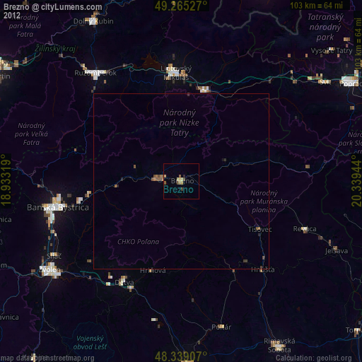
99.62%Clear (daylight) street map image can be seen on geolist.org.
Map coordinates:
49° 15' 55" North, 18° 55' 59.5" East
48° 48' 15.5" North, 19° 38' 10.7" East
48° 20' 20.7" North, 20° 20' 22" East
Some cities around Brezno sort by population:
• Banská Bystrica
36.1 km =22.4 mi,  258°
258°
• Liptovský Mikuláš
30.7 km =19.1 mi,  358°
358°
• Ružomberok
38.5 km =23.9 mi,  321°
321°
• Detva
31.4 km =19.5 mi,  210°
210°
• Revúca
37.7 km =23.4 mi,  110°
110°
• Hriňová
26.5 km =16.5 mi,  197°
197°
• Liptovský Hrádok
26.9 km =16.7 mi,  13°
13°
• Čierny Balog
6.4 km =4 mi,  170°
170°
3060950 (p: 21,331)
Sources (retrieved 2019-11-25):
» Earth at Night: Flat Maps 2012, 2016