Námestovo night lights from space
Night Light of Námestovo (Žilinský kraj) from space (Slovakia) Src. Average luminocity for 10x10km area is 2.9104% and for 50x50km: 0.6862%.
Analysis of Námestovo night lights 2016
Square area 10x10 km:
 0%
0%90-99
0%80-89
1.07%70-79
0.53%60-69
0%50-59
0.8%40-49
1.34%30-39
0%20-29
1.07%10-19
0%0-9
95.19%Square area 50x50 km:
0.05%90-99
0.06%80-89
0.09%70-79
0.02%60-69
0.12%50-59
0.13%40-49
0.25%30-39
0.22%20-29
0.11%10-19
0.04%0-9
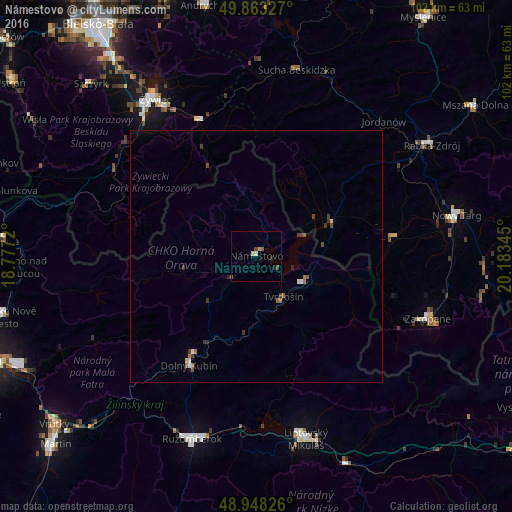
98.91%Clear (daylight) street map image can be seen on geolist.org.
Map coordinates:
49° 51' 47.8" North, 18° 46' 37.9" East
49° 24' 28.4" North, 19° 28' 49.2" East
48° 56' 53.7" North, 20° 11' 0.4" East
Some cities around Námestovo sort by population:
• Żywiec, PL
37.2 km =23.1 mi,  326°
326°
• Zakopane, PL
36 km =22.4 mi,  109°
109°
• Dolný Kubín
25.5 km =15.8 mi,  210°
210°
• Tvrdošín
9.6 km =6 mi,  145°
145°
• Trstená
10.9 km =6.8 mi,  118°
118°
• Zawoja, PL
26.6 km =16.5 mi,  9°
9°
• Stryszawa, PL
34.1 km =21.2 mi, 5°
• Jordanów, PL
36.8 km =22.9 mi,  43°
43°
3058579 (p: 8,135)
Sources (retrieved 2019-11-25):
» Earth at Night: Flat Maps 2012, 2016