Zvolen night lights from space
Night Light of Zvolen (Banskobystrický kraj) from space (Slovakia) Src. Average luminocity for 10x10km area is 22.5952% and for 50x50km: 3.0907%.
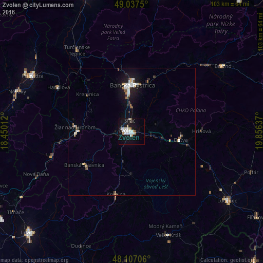
Analysis of Zvolen night lights 2016
Square area 10x10 km:
 6.4%
6.4%90-99
6.1%80-89
1.19%70-79
1.49%60-69
1.49%50-59
0%40-49
0.6%30-39
1.79%20-29
0.74%10-19
30.65%0-9
49.55%Square area 50x50 km:
0.63%90-99
0.65%80-89
0.17%70-79
0.23%60-69
0.31%50-59
0.3%40-49
0.24%30-39
0.22%20-29
0.42%10-19
3.11%0-9
93.74%Clear (daylight) street map image can be seen on geolist.org.
Map coordinates:
49° 2' 15" North, 18° 27' 0.4" East
48° 34' 27.9" North, 19° 9' 11.7" East
48° 6' 25.4" North, 19° 51' 22.9" East
Some cities around Zvolen sort by population:
• Banská Bystrica
18.4 km =11.4 mi,  0°
0°
• Žiar nad Hronom
22.4 km =13.9 mi,  274°
274°
• Handlová
33.5 km =20.8 mi,  300°
300°
• Detva
19.7 km =12.2 mi,  94°
94°
• Banská Štiavnica
22.7 km =14.1 mi,  232°
232°
• Hriňová
27.4 km =17 mi, 89°
• Krupina
25.2 km =15.7 mi,  194°
194°
• Kremnica
22.6 km =14 mi,  310°
310°
3056459 (p: 44,502)
Sources (retrieved 2019-11-25):
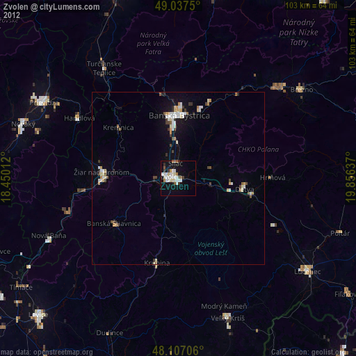
» Earth at Night: Flat Maps 2012, 2016