Koper night lights from space
Night Light of Koper (Koper-Capodistria) from space (Slovenia) Src. Average luminocity for 10x10km area is 31.2712% and for 50x50km: 9.4896%.
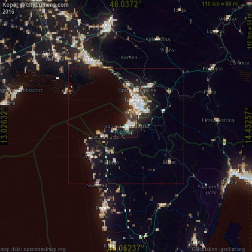
Analysis of Koper night lights 2016
Square area 10x10 km:
 4.24%
4.24%90-99
8.33%80-89
0.61%70-79
2.58%60-69
0.91%50-59
2.73%40-49
7.27%30-39
10.61%20-29
8.33%10-19
28.94%0-9
25.45%Square area 50x50 km:
1.42%90-99
2.12%80-89
0.62%70-79
0.7%60-69
0.72%50-59
0.97%40-49
1.43%30-39
1.67%20-29
2.39%10-19
8.16%0-9
79.81%Clear (daylight) street map image can be seen on geolist.org.
Map coordinates:
46° 2' 13.9" North, 13° 1' 34.8" East
45° 32' 49" North, 13° 43' 46" East
45° 3' 8.5" North, 14° 25' 57.3" East
Some cities around Koper sort by population:
• Trieste, IT
12 km =7.5 mi,  17°
17°
• Izola
5.4 km =3.4 mi,  258°
258°
• Muggia, IT
7 km =4.3 mi, 24°
• Villa Opicina, IT
16.3 km =10.1 mi, 16°
• Lucija
10.9 km =6.8 mi,  244°
244°
• Piran
12.6 km =7.8 mi, 260°
• Ankaran
3.6 km =2.2 mi,  8°
8°
• Kozina
17.5 km =10.9 mi,  66°
66°
3197753 (p: 24,996)
Sources (retrieved 2019-11-25):
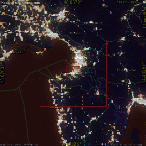
» Earth at Night: Flat Maps 2012, 2016